Ridley, Kent
Coordinates: 51°21′01″N 0°18′56″E / 51.350250°N 0.315530°E
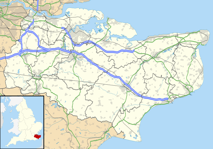
Ridley is a place and former civil parish in the county of Kent, England. It lies between Sevenoaks and Chatham, and is within the Sevenoaks local government district. It is part of the Ash-cum-Ridley civil parish.
Ash and Ridley were formerly separate parishes. Both were part of Dartford Rural District and Axstane Hundred.
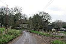
Ridley is situated upon chalk hills, much like that of neighbouring Hartley. The soil is chalky, light and much covered with flints. There is no village and the church stands in the southern part of Ridley, having the parsonage and a lodge nearby.[1] Ridley is 3½ miles SSW of Meopham (railway station) and 7 miles SSW of Gravesend. It has an area of 814 acres, within the bounds of the formerly separate parish.[2]
History

Ridley is mentioned in the Domesday Book as Redlege and is also recorded elsewhere as Redlegh. The parish consisted of a single manor and a court leet and court baron were held for this manor, the court lodge (Ridley Court) being near the church.[1]
In the 19th century the population of Ridley rose from 47 in 1801 to maximum of 101 in 1861, but then declined to 73 by 1921.[3] In 1951 it had a population of 70.[4] Between 1849 and 1880 there was a Church School at Ridley.[5]
Even after parish councils were established in 1894 under the Local Government Act 1894, Ridley continued to be governed by its Parish Meeting.[6]
The parish was united with Ash on 1 April 1955, as part of a general revision of boundaries for parishes within Dartford Rural District.[7]
Local government
Hodsoll Street and Ridley is one of the four wards of Ash-cum-Ridley parish council.[5] Hodsoll Street was previously part of Ash parish [8]
Church
Ridley is within the ecclesiastical jurisdiction of the diocese of Rochester. The church, which stands in the southern part of the parish, is dedicated to St. Peter. It is very small, having only one aisle and a chancel, but without either tower or steeple.
In the chancel before the altar, is a memorial for John Lambe, dec. 24 April 1740, above a chevron between three holy lambs, with stave and banners.[1]
References
- 1 2 3 History and Topgraphical Survey of the County of Kent, by Edward Hasted, pub. Canterbury, 1797; Vol 2, pp. 458-462
- ↑ Imperial Gazetteer of England and Wales, John Marius Wilson, 1870-72
- ↑ Victoria County History, Kent, page 367
- ↑ Census of Population, 1951, County Report, Kent, table 3
- 1 2 Official web site of Ash-cum-Ridley parish council http://www.ash-cum-ridleypc.kentparishes.gov.uk/ retrieved July 2014
- ↑ See for example The London Gazette, Issue 34112, Page 7968. The London Gazette is the official journal of the UK government, available from www.thegazette.co.uk
- ↑ LGBO No. 4833. The County of Kent (Dartford Rural Parishes) Confirmation Order, 1955
- ↑ See maps at Official web site of Ash-cum-Ridley parish council http://www.ash-cum-ridleypc.kentparishes.gov.uk/ retrieved July 2014
External links
-
 Media related to Ridley, Kent at Wikimedia Commons
