Knockholt
| Knockholt | |
 Knockholt |
|
| Population | 1,222 (2011 Census)[1] |
|---|---|
| OS grid reference | TQ467589 |
| Civil parish | Knockholt |
| District | Sevenoaks |
| Shire county | Kent |
| Region | South East |
| Country | England |
| Sovereign state | United Kingdom |
| Post town | SEVENOAKS |
| Postcode district | TN14 |
| Dialling code | 01959 |
| Police | Kent |
| Fire | Kent |
| Ambulance | South East Coast |
| EU Parliament | South East England |
| UK Parliament | Sevenoaks |
Coordinates: 51°18′36″N 0°06′18″E / 51.31°N 0.105°E
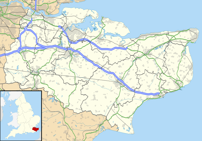
Knockholt is a village and civil parish in the Sevenoaks District of Kent, England, lying approximately 5 miles (8.0 km) south of Orpington and 3 miles (4.8 km) northwest of Sevenoaks. It lies on the border line of Kent and Greater London. According to the 2001 census it had a population of 1,166, increasing to 1,222 at the 2011 Census.[1] The village is located at 51°18'36" north 0°6'18" East.
The village is mostly a ribbon development, surrounded by fields that are a part of the Green Belt. There is mixed arable farming. It is in a hilly, rural location, on the top of the dip slope of the North Downs, and has views over London.
History
Knockholt was included in Orpington Urban District in 1934.[2] When Greater London was created in 1965, as part of Orpington UD, Knockholt was included in the London Borough of Bromley. On 1 April 1969, following a concerted campaign by villagers it was removed from the Borough and returned to Kent, being included in Sevenoaks Rural District.[3]
The Ivy Farm Communications Centre at Knockholt Pound was the Radio Intercept Station for the non-Morse radio traffic, known as Fish, decoded by Bletchley Park during World War II. The importance of the station is noted in Paul Gannon's book.[4]
There are two parts to the village, Knockholt, near the church and school and The Pound, near the Three Horseshoes pub, village shop and garage (Ox in Flames). There are two other pubs, the Harrow and Tally Ho, as well as a village club. All serve meals most days of the week. Food is also served at the two Coolings nurseries in the village.
St Katharine's Church, a Grade II*-listed building, is the Anglican parish church.[5] Near Knockholt Pound is the London Road Evangelical Church, built in the late 19th century as a Methodist chapel.[6] Its registration on behalf of the denomination was cancelled in July 1967,[7] and in August 1968 it was re-registered for Evangelical use.[8] Opposite the parish church is St Katharine's Church of England Primary School.
Transport
Knockholt railway station sits 2 miles (3.2 km) north of the village on the old A21 near Halstead and Badgers Mount and is just within Greater London. Three buses serve the village, the Transport for London services R5 and R10 in a loop from Knockholt to Orpington, as well as the Kent Bus 402 to Bromley and Tunbridge Wells via Sevenoaks.
Local activities
Knockholt residents host a village carnival every two years, the most recent being in July 2014, and a fireworks night every year, late October to early November. Funds raised through these and other events go to national and local charities. A new regular event in the village is the Knockstock music festival, starting in July 2013 and with plans to run in alternating years when the carnival is not operating.
Knockholt Amateur Theatrical Society produce one play and pantomime every year. This charitable society was formed in 1945. Kytens is the local youth amateur theatrical group linked to KATS above. There are many other groups including Bowls, Cricket, Tennis, Horse Riding, Horticulture, Christian Fellowship. This is a popular area for horse riders, walkers, ramblers and cyclists, due to its beauty.
Knockholt Cricket Club completed the 2009 season unbeaten in the Kent County Village League (KCVL) Division 3, which was believed to be a KCVL first.
See also
References
- 1 2 "Civil Parish population 2011". Neighbourhood Statistics. Office for National Statistics. Retrieved 19 September 2016.
- ↑ "Orpington CP/AP". Great Britain Historical GIS (A Vision of Britain Through Time). University of Portsmouth and others. 2009. Retrieved 23 November 2012.
- ↑ "Knockholt CP/CP/Ch". Great Britain Historical GIS (A Vision of Britain Through Time). University of Portsmouth and others. 2009. Retrieved 23 November 2012.
- ↑ Paul Gannon. Colossus: Bletchley Park's Greatest Secret. Atlantic Books, London. 2006
- ↑ Historic England. "Details from listed building database (1273386)". National Heritage List for England. Retrieved 23 November 2012.
- ↑ Homan, Roger (1984). The Victorian Churches of Kent. Chichester: Phillimore & Co. p. 68. ISBN 0-85033-466-7.
- ↑ The London Gazette: no. 44377. p. 8474. 1 August 1967. Retrieved 23 November 2012.
- ↑ The London Gazette: no. 44660. p. 9303. 23 August 1968. Retrieved 23 November 2012.
External links
| Wikimedia Commons has media related to Knockholt. |
