Radzionków
| Radzionków | |||
|---|---|---|---|
|
Church of the Ascension of the Virgin Mary in Radzionków-Rojca | |||
| |||
 Radzionków | |||
| Coordinates: 50°23′N 18°53′E / 50.383°N 18.883°E | |||
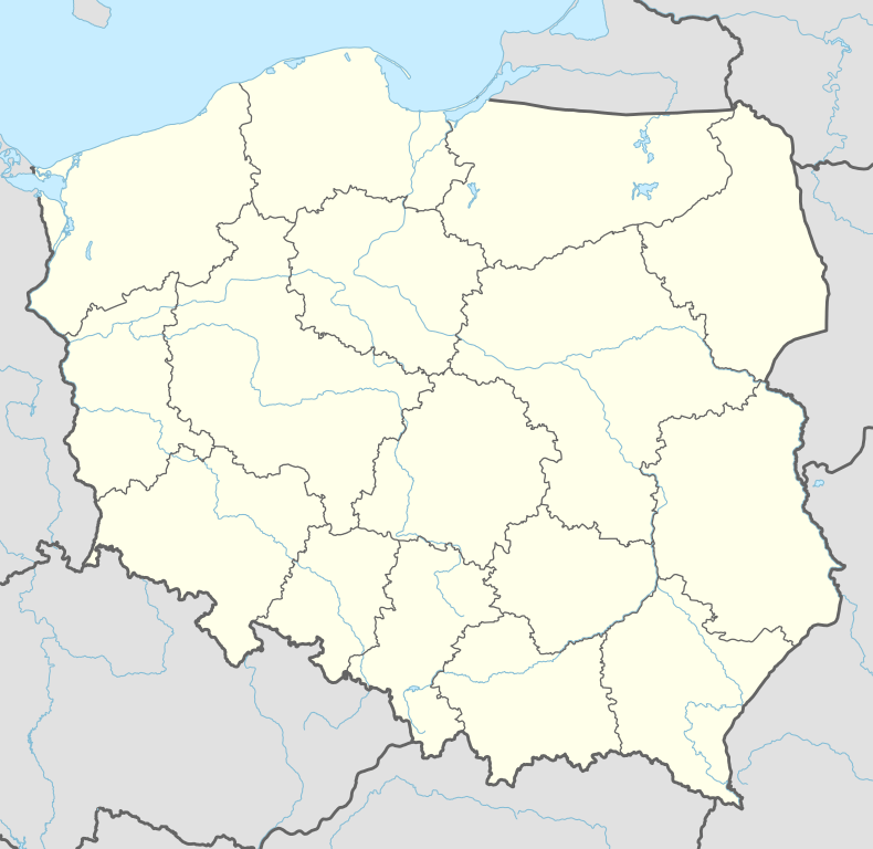
| Country | Poland | ||
| Voivodeship | Silesian | ||
| County | Tarnowskie Góry | ||
| Gmina | Radzionków (urban gmina) | ||
| Area | |||
| • City | 13.2 km2 (5.1 sq mi) | ||
| Population (2008) | |||
| • City | 17,163 | ||
| • Density | 1,300/km2 (3,400/sq mi) | ||
| • Urban | 2,746,000 | ||
| • Metro | 5,294,000 | ||
| Postal code | 41-922 | ||
| Website | http://www.radzionkow.pl | ||


Radzionków ([raˈd͡ʑɔŋkuf]; German: Radzionkau; Silesian: Radźůnkůw) is a town in Silesia in southern Poland, near Katowice. Borders on the Upper Silesian Metropolitan Union - metropolis with the population of 2 millions. Located in the Silesian Highlands.
It is situated in the Silesian Voivodeship since its formation in 1999, previously in Katowice Voivodeship, and before then, of the Autonomous Silesian Voivodeship. In the years 1975-1997 it was a part of Bytom before it became a separate entity in 1998. Radzionków is one of the towns of the 2,7 million conurbation - Katowice urban area and within a greater Silesian metropolitan area populated by about 5,294,000 people.[1] The population of the town is 17,163 (2008).[2]
See also
- Ruch Radzionków - football club from Radzionków
References
- ↑ European Spatial Planning Observation Network (ESPON)
- ↑ Powierzchnia i ludność w przekroju terytorialnym w 2008 - Central Statistical Office in Poland ISSN 1505-5507 , 13.08.2008
External links
Coordinates: 50°23′N 18°53′E / 50.383°N 18.883°E
| Wikimedia Commons has media related to Radzionków. |
| Urban gminas |  | |
|---|---|---|
| Rural gminas | ||
