Palma de Gandia
| Palma de Gandia | ||
|---|---|---|
| Municipality | ||
| ||
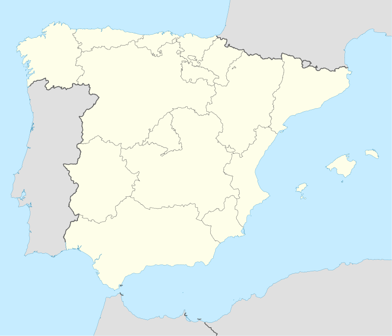 Palma de Gandia Location in Spain | ||
| Coordinates: 38°55′30″N 0°13′21″W / 38.92500°N 0.22250°WCoordinates: 38°55′30″N 0°13′21″W / 38.92500°N 0.22250°W | ||
| Country |
| |
| Autonomous community |
| |
| Province | Valencia | |
| Comarca | Safor | |
| Judicial district | Gandia | |
| Government | ||
| • Alcaldesa | Pepa Bosca (PP) | |
| Area | ||
| • Total | 14 km2 (5 sq mi) | |
| Elevation | 45 m (148 ft) | |
| Population (2008) | ||
| • Total | 1,845 | |
| • Density | 130/km2 (340/sq mi) | |
| Demonym(s) | Palmer, palmera | |
| Time zone | CET (UTC+1) | |
| • Summer (DST) | CEST (UTC+2) | |
| Postal code | 46724 | |
| Official language(s) | Valencian | |
| Website | Official website | |
Palma de Gandia (Valencian pronunciation: [ˈpaɫma ðe ɣanˈdi.a], Spanish: Palma de Gandía) is a municipality in the comarca of Safor in the Valencian Community, Spain.
The municipality of Palma de Gandia limited to the following locations: Ador, Alfauir, Beniarjó, Beniflà, Gandia, Potries, Real de Gandia and Ròtova, all in the province of Valencia .
This article is issued from Wikipedia - version of the 1/25/2016. The text is available under the Creative Commons Attribution/Share Alike but additional terms may apply for the media files.
