Newchurch, Lancashire
| Newchurch, Lancashire | |
| — Village — | |
 Parish Church of St Nicholas with St John and St Michael, Newchurch |
|
 Newchurch, Lancashire |
|
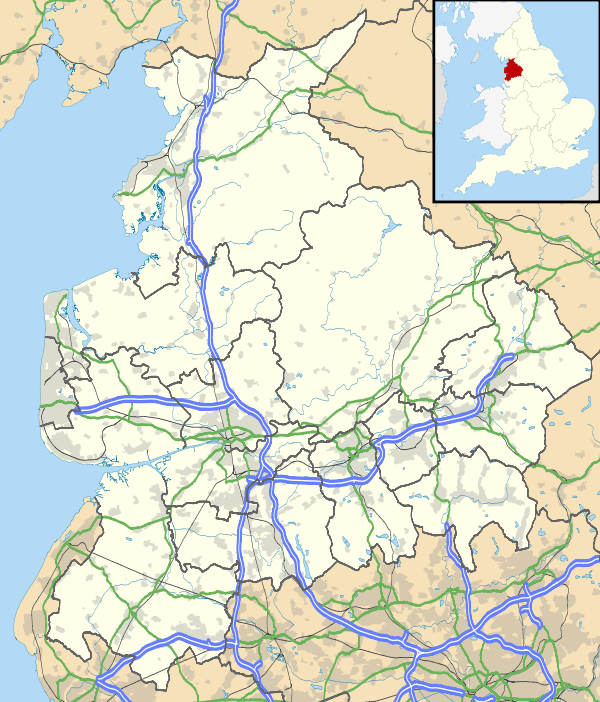
| OS grid reference | SD832225 |
|---|---|
| District | Rossendale |
| Shire county | Lancashire |
| Region | North West |
| Country | England |
| Sovereign state | United Kingdom |
| Post town | Rossendale |
| Postcode district | BB4 |
| Dialling code | 01706 |
| Police | Lancashire |
| Fire | Lancashire |
| Ambulance | North West |
| EU Parliament | North West England |
| UK Parliament | Rossendale and Darwen |
|
|
Coordinates: 53°41′56″N 2°15′11″W / 53.699°N 2.253°W
Newchurch is a village in the Borough of Rossendale, Lancashire.
It is around one mile away from Rawtenstall and half a mile from Waterfoot.
It was also the home of Rossendale United F.C.[1] home ground Dark Lane until it dissolved in 2011 and was set on fire on Sunday 15 January 2012.[2] The derelict site is currently being consider for 50 new family homes.[3]
The village has a mixture of large detached houses and farm houses, and smaller semi-detached housing on Staghills Council Estate where the majority of the villages population lives. There are two large manor houses, Heightside, a nursing home for the mentally ill[4] and Ashlands, a care home for the elderly.
It is part of the Rossendale and Darwen constituency, with Jake Berry having been the Member of Parliament since 2010.
History
Newchurch is one of the earliest settlements in the Forest of Rossendale. The township of Newchurch stretched from Bacup to Rawtenstall and in 1511 it was recorded as having a population of 1000 people. Before the building of St Nicholas in 1511, the village was called Kirk.
The village is built on a hill, Seat Naze. On this hill there is a stone circle with many rumours circulating about its original use. A mobile phone mast was erected on top of Seat Naze in the 1990s.
The hill also has a network of caves running underneath it, used for quarrying in the early 1900s. They stretch from Newchurch to Crawshawbooth around 4 miles away.
The original building for Bacup and Rawtenstall Grammar School was in Newchurch, on Turnpike. This site was used between 1701 until 1913 until they moved to their current site in Waterfoot. The site was then used as St Peters RC Primary School until they moved to a new site in the 1970s. It remained derelict until 2000, when it was demolished and the land was used to build a house.
After World War II the village was expanded with the construction of new homes, including a council estate at Staghills, and during the 1960s many of the historic buildings were demolished to make way for newer bungalows.
Geography
 |
Seat Naze | Scout | Piercy | |
| Cloughfold | |
Edgeside | ||
| ||||
| | ||||
| Staghills | Waterfoot | Siss Clough |
Transport
The 483 bus service ran by Rosso passes through the village on a regular basis giving easy access to Bury and Burnley. The 273 bus provides transport through to Burnley and Bolton.[5]
Services
Newchurch has three churches, St Nicholas Church,[6] St. Peter's R.C and a Methodist church.
Most of the local village shops and the post office have closed in the last couple of decades due to increased transport making it easier to reach local supermarkets in nearby Rawtenstall. A takeaway, general store and hairdressers are the only remaining ones, as well as the last remaining local pub, The Boars Head, which has been open since 1674. The other pub in the village, The Blue Bell, closed in 2013 and the empty building is currently for sale
Newchurch has two primary schools; St Nicholas[7] and St Peter's as well as Staghills Children's Centre and Nursery, rated as "outstanding" by OFSTED.
See also
References
- ↑ http://www.pitchero.com/clubs/rossendaleunitedfc/| Rossendale United FC
- ↑ http://menmedia.co.uk/manchestereveningnews/news/s/1470762_video-fire-devastates-stand-at-rossendale-united-fcs-stadium
- ↑ http://menmedia.co.uk/rossendalefreepress/news/s/1485703_owner-of-fire-ravaged-rossendale-united-stadium-plans-to-build-50-homes-on-site
- ↑ http://www.heightsidehouse.co.uk/index.htm
- ↑ "Bus Times: Bus number 273" (PDF). Transport for Greater Manchester. 2011-09-04. Retrieved 2011-09-08.
- ↑ http://www.stnicholasnewchurch.com
- ↑ "Rawtenstall Newchurch St Nicholas C of E Primary School". Retrieved 2011-09-08.
External links
![]() Media related to Newchurch, Lancashire at Wikimedia Commons
Media related to Newchurch, Lancashire at Wikimedia Commons