Strongstry
| Strongstry | |
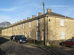 North Street, Strongstry |
|
 Strongstry |
|
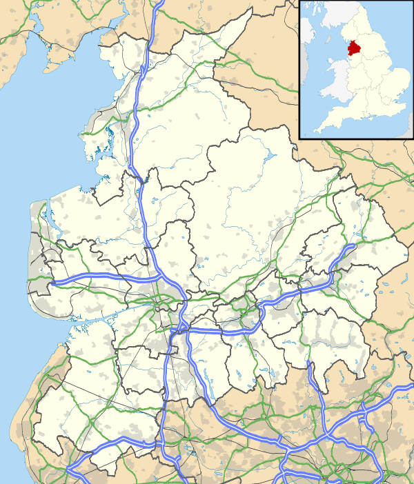
| OS grid reference | SD790187 |
|---|---|
| District | Rossendale |
| Shire county | Lancashire |
| Region | North West |
| Country | England |
| Sovereign state | United Kingdom |
| Post town | BURY |
| Postcode district | BL0 |
| Dialling code | 01706 |
| Police | Lancashire |
| Fire | Lancashire |
| Ambulance | North West |
| EU Parliament | North West England |
| UK Parliament | Rossendale and Darwen |
|
|
Coordinates: 53°39′54″N 2°19′01″W / 53.665°N 2.317°W
Strongstry is a small hamlet in Rossendale, Lancashire. The hamlet is only accessible by an unadopted road running through a factory. It is accessible on several walking routes. For local government purposes, it receives services from Rossendale Borough Council and Lancashire County Council. Nearby are the village of Stubbins and the hamlet of Chatterton. The East Lancashire Railway runs through Strongstry, but there is no station there.
Much of the land to the west of the village is in the care of the National Trust and consists of hillside pasture and woodland leading up to Holcombe Moor and Peel Tower.
- Map sources for Strongstry.
External links
![]() Media related to Strongstry at Wikimedia Commons
Media related to Strongstry at Wikimedia Commons
This article is issued from Wikipedia - version of the 1/18/2016. The text is available under the Creative Commons Attribution/Share Alike but additional terms may apply for the media files.