Natividad, California
| Natividad | |
|---|---|
| Unincorporated community | |
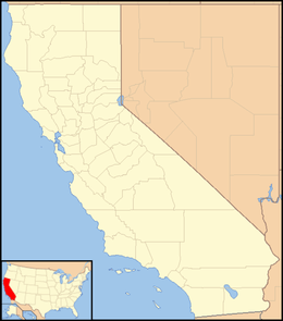 Natividad  Natividad Location in California | |
| Coordinates: 36°43′58″N 121°35′48″W / 36.73278°N 121.59667°WCoordinates: 36°43′58″N 121°35′48″W / 36.73278°N 121.59667°W | |
| Country | United States |
| State | California |
| County | Monterey County |
| Elevation[1] | 164 ft (50 m) |
Natividad is an unincorporated community in Monterey County, California.[1] It is located 5 miles (8 km) northeast of Salinas,[2] at an elevation of 164 feet (50 m).[1]
A post office operated at Natividad from 1855 to 1908.[2] Natividad was a bustling station for stage coaches in the 1850s until traffic was re-routed through Salinas.[2]
References
This article is issued from Wikipedia - version of the 7/5/2016. The text is available under the Creative Commons Attribution/Share Alike but additional terms may apply for the media files.