Lučina (Frýdek-Místek District)
| Lučina | |||
|---|---|---|---|
| Village | |||
|
Municipal office | |||
| |||
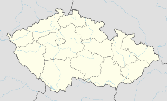
 Location in the Czech Republic | |||
| Coordinates: 49°42′51″N 18°27′0″E / 49.71417°N 18.45000°ECoordinates: 49°42′51″N 18°27′0″E / 49.71417°N 18.45000°E | |||
| Country | Czech Republic | ||
| Region | Moravian-Silesian | ||
| District | Frýdek-Místek | ||
| Established | 8 January 1956 | ||
| Government | |||
| • Mayor | Soňa Blahutová | ||
| Area | |||
| • Total | 7.44 km2 (2.87 sq mi) | ||
| Elevation | 312 m (1,024 ft) | ||
| Population (2008) | |||
| • Total | 1,181 | ||
| • Density | 160/km2 (410/sq mi) | ||
| Postal code | 739 39 | ||
| Website |
www | ||
Lučina is a village in Frýdek-Místek District, Moravian-Silesian Region, Czech Republic. It has a population of 1181 (2008). It lies on the shore of Žermanice Dam, in the historical region of Cieszyn Silesia.
The construction of Žermanice Dam on Lučina River necessitated resettlement of the population of the villages Dolní Domaslavice and Soběšovice, which were going to be partly flooded. Therefore, a new village was founded on the left bank of the nascent reservoir to accommodate resettled population, encompassing former eastern territories of the aforementioned villages. Officially the municipality of Lučina began to exist on 8 January 1956.[1]
References
- ↑ "Historie". lucina.cz (in Czech). Retrieved 9 September 2014.
External links
- (Czech) Official website
This article is issued from Wikipedia - version of the 4/7/2016. The text is available under the Creative Commons Attribution/Share Alike but additional terms may apply for the media files.


