Kachua Upazila, Chandpur
| Kachua কচুয়া | |
|---|---|
| Upazila | |
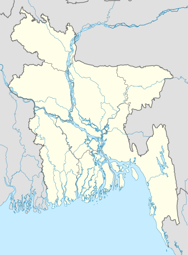 Kachua Location in Bangladesh | |
| Coordinates: 23°21′N 90°53.5′E / 23.350°N 90.8917°ECoordinates: 23°21′N 90°53.5′E / 23.350°N 90.8917°E | |
| Country |
|
| Division | Chittagong Division |
| District | Chandpur District |
| Area | |
| • Total | 235.82 km2 (91.05 sq mi) |
| Population (1991) | |
| • Total | 293,683 |
| • Density | 1,200/km2 (3,200/sq mi) |
| Time zone | BST (UTC+6) |
| Website | Official Map of Kachua |
Kachua (Bengali: কচুয়া) is an Upazila of Chandpur District[1] in the Division of Chittagong, Bangladesh.
Geography
Kachua is located in between 23.15 and 23.28 degrees of North latitudes and 90.48 to 91.01 degrees of East longitudes. ( 23°21′00″N 90°53′30″E / 23.3500°N 90.8917°E ) . It has 50,262 households and a total area of 235.82 km².
Demographics
According to the 1991 Bangladesh census, Kachua had a population of 293,683. Males constituted 49.7% of the population, and females 50.3%. The population aged 18 or over was 135,448. Kachua had an average literacy rate of 34.1% (7+ years), against the national average of 32.4%.[2]
Administration
Kachua has 12 Unions/Wards, 173 Mauzas/Mahallas, and 238 villages. Ashrafpur is the largest village in the upazila.Area: 238 sq. km Population (approximately): 335,000 .Population Density: 1255 person per sq. km. Total Mouzas: 168 .Literacy rate: 42.5%. Rivers: Baleshwar, Bhairab, Bishkhali.
See also
References
- ↑ Habibunnabi Shariful Haque Shajee (2012), "Kachua Upazila (Chandpur District)", in Sirajul Islam and Ahmed A. Jamal, Banglapedia: National Encyclopedia of Bangladesh (Second ed.), Asiatic Society of Bangladesh
- ↑ "Population Census Wing, BBS.". Archived from the original on 2005-03-27. Retrieved November 10, 2006.
| Upazila/Thana: | ||
|---|---|---|
