Hyder, Arizona
| Hyder, Arizona | |
|---|---|
| Populated place | |
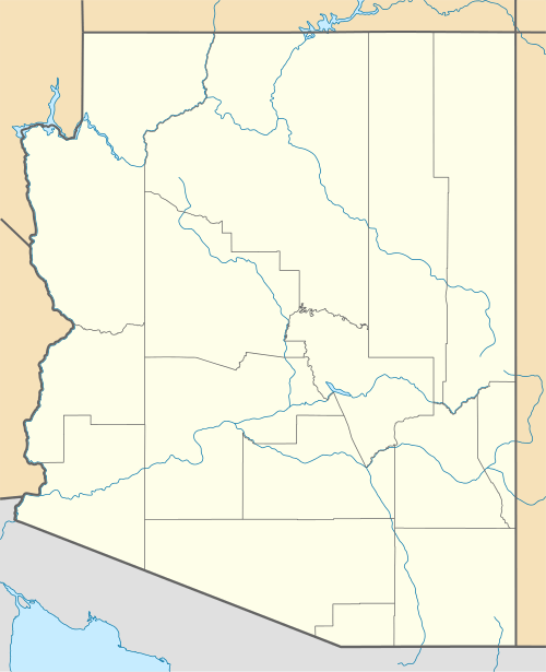 Hyder, Arizona  Hyder, Arizona Location in the state of Arizona | |
| Coordinates: 33°00′59″N 113°20′56″W / 33.01639°N 113.34889°WCoordinates: 33°00′59″N 113°20′56″W / 33.01639°N 113.34889°W | |
| Country | United States |
| State | Arizona |
| County | Yuma |
| Elevation[1] | 538 ft (164 m) |
| Time zone | MST (no DST) (UTC-7) |
Hyder is a populated place and farming community in Yuma County, Arizona, United States. It and surrounding areas (such as "Sentinel" and "Agua Caliente") houses several different types of fish, shrimp, and other types of farms, one school (Sentinel Elementary School), and two gas stations/general markets. There was also a bar at one point (the Whispering Sands Bar), which was really nothing more than a tin-topped shed, but it was closed some time in 1997 due to a change of ownership and lack of business. The Gila River runs through Hyder, although it is dry most of the time. Hyder is also known for its extremely hot temperatures in the summer.
Hyder was the site of a Southern Pacific Railway "track gang". Housed there were a foreman and his family, and a bunk house which could sleep 4. During the 60's Hyder was inexorably "hooked" to Tacna, Welton, Aqua Caliente, Sentinel, Growler, and Roll. These were outposts created by the Southern Pacific to maintain the "Gila Line" from Phoenix, through Yuma, into California's Imperial Valley to Los Angeles. Since 1964, only two daily passenger trains utilized the line-the "Golden State" and the "Sunset Limited".
During World War II it was the training spot of General Patton's Desert Training Center. The nearby Agua Caliente also held a large hotel during this time.
A twelve-car-long Amtrak train, the Sunset Limited, was derailed by an unknown saboteur near Hyder on October 9, 1995.
References
External links
Municipalities and communities of Yuma County, Arizona, United States | ||
|---|---|---|
| Cities | 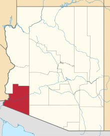 | |
| Town | ||
| CDPs |
| |
| Unincorporated communities | ||
| Indian reservations | ||
| Ghost towns | ||
| Footnotes | ‡This populated place also has portions in an adjacent county or counties | |