Hoe, Norfolk
| Hoe | |
 Hoe |
|
| Area | 9.25 km2 (3.57 sq mi) |
|---|---|
| Population | 241 (2011)[1] |
| – density | 26/km2 (67/sq mi) |
| OS grid reference | TF9952116818 |
| District | Breckland |
| Shire county | Norfolk |
| Region | East |
| Country | England |
| Sovereign state | United Kingdom |
| Post town | Dereham |
| Postcode district | NR20 |
| Dialling code | 01362 |
| Police | Norfolk |
| Fire | Norfolk |
| Ambulance | East of England |
| EU Parliament | East of England |
| UK Parliament | South West Norfolk |
Coordinates: 52°42′44″N 0°57′08″E / 52.71222°N 0.95225°E
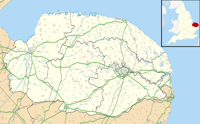
Hoe is a village and civil parish situated in the Breckland District of Norfolk and covers an area of 925 hectares (2,290 acres), with an estimated population of 219 at the 2001 census,[2] increasing to 241 at the 2011 Census.
The village lies 1.5 miles (2.4 km) east of Beetley, 1.5 miles (2.4 km) west of Swanton Morley and 2.5 miles (4.0 km) by road north from Dereham.
It is served by St Andrew's Church[3] in the Benefice of Swanton Morley.[4]
The civil parish of Hoe is joined to the adjacent parish of Worthing, although the ecclesiastical parishes remain separate.
The Mid-Norfolk Railway had extended it's historical line to Hoe and are planning to construct a platform, here to serve the nearby village.[5]
References
- ↑ "Civil Parish population 2011". Neighbourhood Statistics. Office for National Statistics. Retrieved 6 August 2016.
- ↑ Census population and household counts for unparished urban areas and all parishes. Office for National Statistics & Norfolk County Council (2001). Retrieved 20 June 2009.
- ↑ Norfolk churches
- ↑ Benefice of Swanton Morley
- ↑ Mid-Norfolk Railway
External links
![]() Media related to Hoe, Norfolk at Wikimedia Commons
Media related to Hoe, Norfolk at Wikimedia Commons
| Boroughs or districts | |
|---|---|
| Major settlements |
|
| Topics | |