Lynford
| Lynford | |
 Lynford |
|
| Area | 24.72 km2 (9.54 sq mi) |
|---|---|
| Population | 157 (2001 census) |
| – density | 6/km2 (16/sq mi) |
| OS grid reference | TL820911 |
| District | Breckland |
| Shire county | Norfolk |
| Region | East |
| Country | England |
| Sovereign state | United Kingdom |
| Post town | THETFORD |
| Postcode district | IP26 |
| Dialling code | 01842 |
| Police | Norfolk |
| Fire | Norfolk |
| Ambulance | East of England |
| EU Parliament | East of England |
| UK Parliament | South West Norfolk |
Coordinates: 52°29′16″N 0°40′47″E / 52.48768°N 0.67977°E
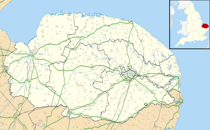
Lynford is a village situated in the Breckland District of Norfolk and covers an area of 24.72 km2 (9.54 sq mi) with a population of 157 in 81 households as of the UK census 2001.[1] Lynford lies 4 miles (6.4 km) north east of Brandon and between Mundford, 2 miles (3.2 km) to the north west, and Thetford, 6.5 miles (10.5 km) to the south east, on the A134. It lies deep within Breckland forestry land between the Stanford Battle Area and Thetford Forest.
Lynford is served by Our Lady of Consolation and Saint Stephen chapel of ease[2] joined to Saint Mary's Catholic Church, Thetford.[3]
Lynford Hall, which is actually closer to Mundford, was rebuilt in the 19th century by Stephens Lyne-Stephens who was known as the richest commoner in England.[4] The hall is now a hotel and conference centre. Lynford Arboretum and Lakes, formerly part of Lynford Hall estate, is now owned by the Forestry Commission.[5]
Grimes Graves, the only Neolithic flint mine open to visitors in Great Britain, lie a mile to the south.[6] Lynford Quarry is one of only two sites on mainland Britain which has evidence of Neanderthal occupation.[7]
References
| Wikimedia Commons has media related to Lynford. |
- ↑ Census population and household counts for unparished urban areas and all parishes. Office for National Statistics & Norfolk County Council (2001). Retrieved 20 June 2009.
- ↑ Norfolk churches
- ↑ Thetford contact
- ↑ EDP 'The hall, the dancer and the disputed millions'
- ↑ Lynford Arboretum
- ↑ Grime's Graves
- ↑ Stringer, Chris. "The Ancient Human Occupation of Britain" (PDF). Natural History Museum, London. Retrieved 17 March 2013.