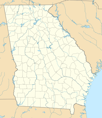
Hickory Flat, Georgia
| Hickory Flat, Georgia | |
|---|---|
| Unincorporated community | |
 Hickory Flat  Hickory Flat  Hickory Flat | |
| Coordinates: 34°10′12″N 84°25′22″W / 34.17000°N 84.42278°W | |
| Country | United States |
| State | Georgia |
| County | Cherokee |
| Time zone | EST (UTC-5) |
| • Summer (DST) | EDT (UTC-4) |
| ZIP codes | 30115-30188 |
| Area code(s) | 770/678/470 |
| Website |
www |
Hickory Flat is an unincorporated community in southeastern Cherokee County, Georgia, United States. The center of the community is marked by a four-way stoplight at the intersection of Georgia State Route 140 and East Cherokee Drive. Once a sparse town with more land per acre than people per square mile, this quiet community has begun to embrace the urban sprawl. All new homes have a minimum of 2 acres (0.81 ha). Since 2007 new home and commercial builders have taken to the area, even today (2015) retail space continues to be constructed to keep up with the fast-growing population.
Within a 10-mile (16 km) radius of the town is the county seat of Canton, to the north, and Woodstock, to the south. Access to I-575 and GA 400 are also within a 20-mile (32 km) span. It is approximately 40 miles (64 km) north of downtown Atlanta. The community is located along an old Native American trading route and is one of the county's earliest white settlements. To its north along Georgia Highway 140 is a subsection of Hickory Flat known to locals as "Indian Knoll". This crest in the middle of rolling farm land is a literal geographic knoll where tribes would meet.
Zip codes
- 30115, Canton residences and businesses
- 30188, Woodstock residences and businesses
Schools
The town has three main public schools, located side-by-side on Hickory Road: Hickory Flat Elementary, Dean Rusk Middle School, and Sequoyah High School. Hickory Flat Elementary was built in 1903, marking the location of the town center. The Messiah Montessori School, which moved to a newly constructed campus on Highway 140 in 2008, provided the first private school in the area upon its 2005 founding, but operations ceased.
External links
Coordinates: 34°10′12″N 84°25′22″W / 34.17000°N 84.42278°W
