Grove Park, Lewisham
| Grove Park | |
 Grove Park |
|
| Population | 14,648 (2011 Census.Ward)[1] |
|---|---|
| OS grid reference | TQ404722 |
| London borough | Lewisham |
| Ceremonial county | Greater London |
| Region | London |
| Country | England |
| Sovereign state | United Kingdom |
| Post town | LONDON |
| Postcode district | SE12, BR1 |
| Dialling code | 020 |
| Police | Metropolitan |
| Fire | London |
| Ambulance | London |
| EU Parliament | London |
| UK Parliament | Lewisham East |
| London Assembly | Greenwich and Lewisham |
Coordinates: 51°25′53″N 0°01′16″E / 51.4313°N 0.0210°E
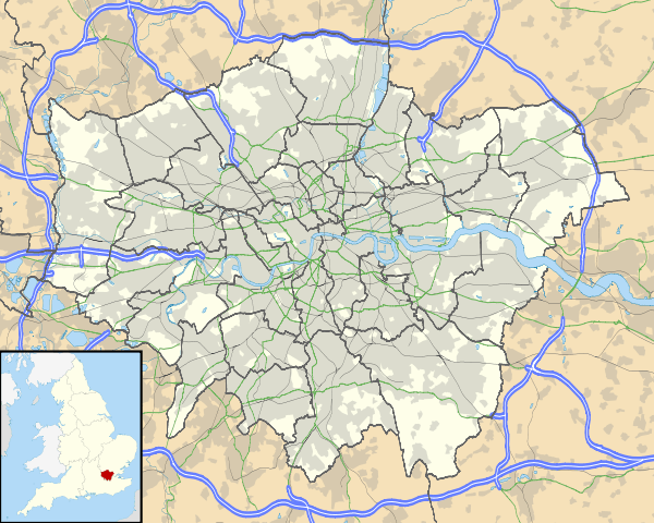
Grove Park is a suburban area and electoral ward in south east London, England within the London Borough of Lewisham. It is located north east of Bromley and south west of Eltham.
History
Early development grew up around Grove Park railway station in the 19th century, though there had been settlements located here since Celtic times. Much of it consists of a housing estate built by the Metropolitan Borough of Lewisham in the 1920s. A workhouse was built in the area in 1902. After use by the Army during the First World War it became Grove Park hospital, which has now been redeveloped as a housing estate. There are a two public parks in the area, the largest of which is Chinbrook Meadows, through which the River Quaggy flows northward. The Quaggy runs through and joins the second park known as Mottingham playing fields (colloqually known as 'Foxes') which borders the neighbouring Mottingham area. Grove Park is also home to part of the Green chain walk, linking Londons green spaces as well as Elmstead woods.
Transport
Railway
Grove Park station serves the area of Grove Park and Downham with frequent Metro services to London Charing Cross, London Cannon Street, Sevenoaks, Orpington and a shuttle service to Bromley North. The station and the trains serving it are operated by Southeastern.
Buses
Grove Park is served by several Transport for London bus routes and also has a bus garage. Routes 136, 181, 261, 273 and 284 serve the bus station whilst 124, 126, 136, 181, 261, 284 and night bus N136 serve Grove Park train station which is one bus stop away. Routes 136 and 181 terminate in the bus station.
The Routes:
- 124 to Eltham via Mottingham or Catford via Downham, Walters Road and Sandhurst Road.
- 126 to Eltham via Mottingham or Bromley South via Plaistow Green and Bromley North.
- 136 to Elephant & Castle via Downham, Catford Bus Garage, Catford, Ladywell, Lewisham and New Cross.
- 181 to Lewisham via Downham, Southend Lane, Lower Sydenham, Catford and Hither Green.
- 261 to Lewisham via Lee Station and Lee Green or Locksbottom Princess Royal Hospital via Plaistow Green, Bromley town centre and Bromley Common.
- 273 to Lewisham Tesco via Lee Station, Lee Green, Lewisham town centre and Lewisham station or Petts Wood via Chislehurst and St. Mary's Cray.
- 284 to Grove Park Cemetery or Lewisham via Downham, Northover, Sandhurst Road, Catford, Ravensbourne Park and Ladywell.
Nearest places
Postal
Grove Park is mostly covered by the SE12 postcode district; as Lee was originally the district name for SE12, residents and other localities in Grove Park sometimes include Lee as part of their address. About one tenth of the area of Grove Park ward in its southeast corner, containing Chinbrook Estate, is within the SE9 postcode district. There are two post office branches in Grove Park, one near the train station on Baring Road, and the other about 2 km (1.2 mi) to the north of the station, on Sibthorpe Road, off Westhorne Avenue.
Churches
There are four main churches in the area representing different denominational persuasions and worship styles.
Word of Life Church is located at the church hall on Mayeswood Road in the Grove Park Estate, and backs onto Chinbrook Meadows. This is a Pentecostal church, part of the Elim Church network. The church leader is Rev Rowland Henshaw.[2]
St Augustine's Church is located at 336 Baring Road on the edge of South Lee and Grove Park. This is a Church of England. Archbishop Desmond Tutu ministered in St Augustines between 1970 and 1974. The current leader is Rev Gavin Berriman.[3]
Kings Church Downham is located at 20 The Green, Downham Way. This church is a Charismatic church and part of the New Frontiers network. It is one of three sites that makes up Kings church London, which is led by Steve Tibbert, The Site leader of the Downham church is Ben Welchman
Burnt Ash Methodist Church is located on Burnt Ash Hill on the edge of South Lee and Grove Park.
Schools
There are two primary schools located in the catchment area, Marvels Lane and Coopers Lane School. Marvels Lane School also houses a children's centre. There is also a local secondary school now called Knights Academy, it was formerly Malory School.
Famous former residents
References
- ↑ "Lambeth Ward population 2011". Neighbourhood Statistics. Office for National Statistics. Retrieved 13 October 2016.
- ↑ "TEAM SENIOR LEADERSHIP". Word of Life LLC. Retrieved 20 July 2016.
- ↑ "Home". www.staugustines-grovepark.com. Retrieved 2016-04-05.
External links
| Districts |
|  |
|---|---|---|
| Attractions | ||
| Parks and open spaces |
| |
| Constituencies | ||
| Rail stations | ||
| Other topics | ||
| Section 2: | Capital Ring Walking Route | Section 3: |
|---|---|---|
| Falconwood | Grove Park | Crystal Palace |
