Gangotri National Park
| Gangotri National Park | |
|---|---|
|
IUCN category II (national park) | |
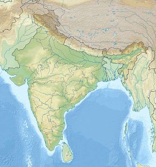 | |
| Location | Uttarkashi District Uttarakhand, India |
| Nearest city | Uttarkashi |
| Coordinates | 31°38′0″N 79°33′0″E / 31.63333°N 79.55000°ECoordinates: 31°38′0″N 79°33′0″E / 31.63333°N 79.55000°E |
| Area | 2,390 (2,390.02) km² |
| Governing body | Forest Department of Uttarakhand government |

Gangotri National Park is a national park located in Uttarkashi District Uttarakhand, India. The size of this national park is about 2,390 square km.[1] The park provides majestic beauty of coniferous forests and grandeur of glacial world combined with lush green meadows.
Flora
The park harbors Western Himalayan su conifer forests at lower elevations and Western Himalayan alpine shrub and meadows at higher elevations. Vegetation consist of chirpine deodar, fir, spruce, oak and rhododendrons.
Fauna
So far 15 species of mammals and 150 bird species have been documented in the park (Paramanand et al. 2000). This includes some of the rare and charismatic species such as snow leopard (Uncia uncia), black bear (Selenarctos thibetanus), brown bear (Ursus arctos), musk deer (Moschus chrysogaster), blue sheep or bharal (Pseudois nayaur), Himalayan tahr (Hemitragus jemlahicus), Himalayan monal (Lophophorus impejanus), Koklass (Pucrasia macrolopha) and Himalayan snowcock (Tetraogallus himalayensis).
This park is home to the snow leopard, ibex, tahr, Himalayan barbet, serow, pheasants, partridges, doves, pigeons, etc.
Tourism

In the months from April to October, tourism in the national park is at its peak. The head of railways and airport is Dehradun. The nearest railway station is 210 kilometres while nearest airport is 220 kilometres from the national park. Also Harsil is the nearest town (30 km). The spectacular Nelong Valley - a cold desert like area - tucked in the Uttarakhand Himalayas, close to the Indo-China border, was opened to tourists earlier this year after 53 years of remaining out of bounds post the 1962 War. The valley, situated at an altitude of around 11,000 feet above the sea level, falls under the Gangotri National Park in Uttarkashi district, is around 315 km from Dehradun. It is also only 23 km away from Bhaironghati, a place just 8 km ahead of the famous Gangotri shrine.[2]
Geography
The Gangotri National Park (GNP) (Lat. 78°45’ to 79°02’ East and 30°50’ to 31°12’ North) is located in the upper catchment of Bhagirathi river in the Uttarkashi District of Uttrakhand State, India. The northeastern park boundary is located along the international boundary with China. It falls under the Biogeographical zone – 2A West Himalaya (Rodgers and Panwar, 1988) and covers an areas of 2,390 km². (Fig.1&2), including a considerable stretch of snow-clad mountains and glaciers. The Gaumukh glacier, the origin of river Ganges is located inside the park. The Gangotri, after which the park has been named, is one of the holy shrines of Hindus. The park area forms a viable continuity between Govind National Park and Kedarnath Wildlife Sanctuary. High ridges, deep gorges and precipitous cliffs, rocky craggy glaciers and narrow valleys characterize the area. There is a high variation in the elevation gradients from 1,800 to 7,083m, which in turn reflects in the diverse biomes, from subtropical communities to alpine meadows.
Ecology
The Gangotri National Park is typical of high altitude ecosystems, with decisive influence from Trans Himalayan elements in both physical and biological characteristics. The landscape is dominated by alpine scrub, although forests of kharsu oak and betula are observed in patches in lower and higher elevation areas respectively. The mountain sides along the entire route from Gangotri to Gaumukh are steeper and are distinctly broken up by consequential landslides. These landslides appear to have caused irreversible isolation between forest patches including the alpine vegetation. The impact of these natural events on the forest and the dependent organisms is important to document, so as to assess the long-term value of this park in the wildlife perspective. The ground vegetation, although drying, is suggestive of high ground biomass in this area, and the recorded ground vegetative cover ranges from 10 to 50% (average = 25%).
References
- ↑ http://nbaindia.in/uploaded/state-wise/uk/1.list_Protectedareas_uk.pdf
- ↑ http://www.hindustantimes.com/travel/nelong-valley-another-ladakh-tucked-in-the-uttarakhand-himalayas/story-42e5ckQmuHERYvTJ6SVtmL.html
| Wikimedia Commons has media related to Gangotri National Park. |