Aiton, Cluj
| Aiton | |
|---|---|
| Commune | |
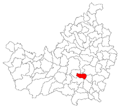 Location of the settlement on County map | |
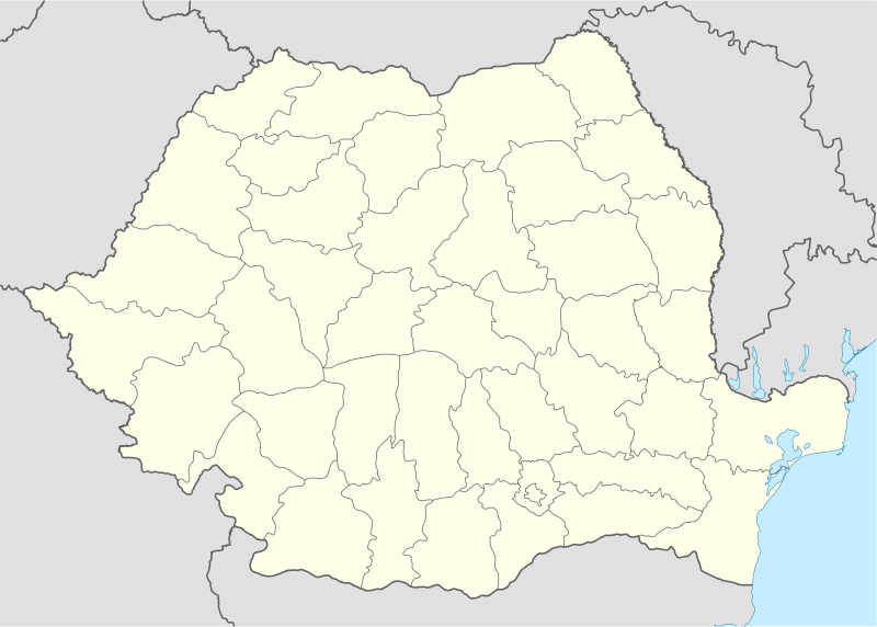 Location on Romania map | |
| Coordinates: 46°41′07″N 23°44′20″E / 46.68528°N 23.73889°ECoordinates: 46°41′07″N 23°44′20″E / 46.68528°N 23.73889°E | |
| Country |
|
| County | Cluj County |
| Status | Commune |
| Settled | 1320 |
| Commune seat | Aiton |
| Villages | Aiton, Rediu |
| Government | |
| • Mayor | Făgădar Nicolae (PSD) |
| Area | |
| • Total | 45.27 km2 (17.48 sq mi) |
| Elevation | 626 m (2,054 ft) |
| Population (July 1, 2007)[1] | |
| • Total | 1,244 |
| • Density | 27/km2 (71/sq mi) |
| Time zone | EET (UTC+2) |
| • Summer (DST) | EEST (UTC+3) |
| Postal Code | 407025 |
| Area code(s) | +40 x64[2] |
| Website | http://www.cjcluj.ro/aiton/ |
Aiton (Hungarian: Ajton; German: Eiten) is a commune in Cluj County, Romania. It is composed of two villages, Aiton and Rediu (Rőd).
Population
The population modified during time, as follows:
| Census[3][4] | Structura etnică | |||||||
|---|---|---|---|---|---|---|---|---|
| Year | Population | Romanians | Hungarians | Germans | Roma | Other minorities | ||
| 1850 | 2.438 | 1.901 | 443 | 85 | 9 | |||
| 1880 | 2.803 | 2.106 | 585 | 1 | 111 | |||
| 1890 | 3.452 | 2.690 | 720 | 42 | ||||
| 1900 | 3.528 | 2.830 | 698 | 0 | ||||
| 1910 | 3.934 | 3.183 | 693 | 4 | 54 | |||
| 1920 | 3.747 | 3.178 | 551 | 18 | ||||
| 1930 | 4.132 | 3.504 | 586 | 1 | 28 | 13 | ||
| 1941 | 4.585 | 3.975 | 566 | 2 | 42 | |||
| 1956 | 3.754 | 3.274 | 479 | 1 | ||||
| 1966 | 3.308 | 2.840 | 467 | 1 | 0 | |||
| 1977 | 2.772 | 2.404 | 368 | 0 | ||||
| 1992 | 1.626 | 1.432 | 194 | 0 | ||||
| 1992 | 1.626 | 1.431 | 195 | 0 | ||||
| 2002 | 1.338 | 1.154 | 181 | 3 | 0 | |||
History

An ancient Roman milliarium has been discovered in Aiton in the 18th century (Milliarium of Aiton). It milestone, dating from 108 AD, shortly after the Roman conquest of Dacia, shows the construction of the road from Potaissa to Napoca, by demand of the Emperor Trajan. It indicates the distance of ten thousand feet (P.M.X.) to Potaissa. This is the first epigraphical attestation of the settlements of Potaissa and Napoca in Roman Dacia.
The complete inscription is: "Imp(erator)/ Caesar Nerva/ Traianus Aug(ustus)/ Germ(anicus) Dacicus/ pontif(ex) maxim(us)/ (sic) pot(estate) XII co(n)s(ul) V/ imp(erator) VI p(ater) p(atriae) fecit/ per coh(ortem) I Fl(aviam) Vlp(iam)/ Hisp(anam) mil(liariam) c(ivium) R(omanorum) eq(uitatam)/ a Potaissa Napo/cam / m(ilia) p(assuum) X". It was recorded in Corpus Inscriptionum Latinarum, vol.III, the 1627, Berlin, 1863.
This milliarium is an attestation of the road know to be built by Cohors I Hispanorum miliaria.[5]
A copy of this milliarium was erected in June 1993 in front of the Turda Post Office (Dec. 1, 1918 Street). Another copy exists in the front of the Aiton School.
Notes
- ↑ "Population as of July 1, 2007" (in Romanian). INSSE. April 4, 2008. Archived from the original on 29 April 2008. Retrieved 2008-05-04.
- ↑ x is a digit indicating the operator: 2 for the former national operator, Romtelecom, and 3 for the other ground telephone networks
- ↑ Varga E. Censuses on language and nationality (1850-1992)
- ↑ Etno-demographic structure of Romania (2002)
- ↑ ARCHAEOLOGICAL REPERTORY OF ROMANIA. Archive Of The Vasile Parvan Institute Of Archaeology – Site Location Index
References
- Atlasul localităţilor judeţului Cluj (Cluj County Localities Atlas), Suncart Publishing House, Cluj-Napoca, ISBN 973-86430-0-7