Aerial Acres, California
| Aerial Acres | |
|---|---|
| Unincorporated community | |
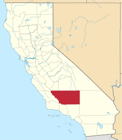
 Aerial Acres  Aerial Acres Location in California | |
| Coordinates: 35°05′16″N 117°47′31″W / 35.08778°N 117.79194°WCoordinates: 35°05′16″N 117°47′31″W / 35.08778°N 117.79194°W | |
| Country | United States |
| State | California |
| County | Kern County |
| Elevation[1] | 2,428 ft (740 m) |
Aerial Acres is a fly-in unincorporated community in Kern County, California.[1] It is located 5.5 miles (9 km) east-southeast of Castle Butte,[2] at an elevation of 2428 feet (740 m).[1] It was noted as "a desert town at Clay Mine Road and Sequoia in Peerless Valley, California.[3]
References
- 1 2 3 U.S. Geological Survey Geographic Names Information System: Aerial Acres, California
- ↑ Durham, David L. (1998). California's Geographic Names: A Gazetteer of Historic and Modern Names of the State. Clovis, Calif.: Word Dancer Press. p. 991. ISBN 1-884995-14-4.
- ↑ Curtis Darling, Kern County Place Names, second edition (2003), page 1
This article is issued from Wikipedia - version of the 7/5/2016. The text is available under the Creative Commons Attribution/Share Alike but additional terms may apply for the media files.