Blackwells Corner, California
| Blackwells Corner | |
|---|---|
| Unincorporated community | |
|
The Texaco gas station at the SR 46 and SR 33 intersection marks the location of Blackwells Corner | |
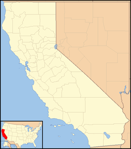 Blackwells Corner  Blackwells Corner Location in California | |
| Coordinates: 35°36′54″N 119°52′04″W / 35.61500°N 119.86778°WCoordinates: 35°36′54″N 119°52′04″W / 35.61500°N 119.86778°W | |
| Country | United States |
| State | California |
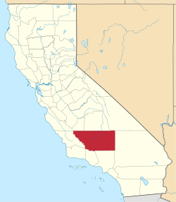
| County | Kern County |
| Elevation[1] | 650 ft (198 m) |
_(crop).jpg)
Blackwells Corner is an unincorporated community in the Antelope Valley of Kern County, California.[1] It is located 50 miles (80 km) west-northwest of Bakersfield,[2] at an elevation of 650 feet (198 m).[1] Blackwells Corner is at the intersection of California State Route 46 and California State Route 33, and was the last place James Dean was seen alive prior to his death in a car wreck.
The name honors George Blackwell, who started a rest stop there in 1921.[2]
Climate
According to the Köppen Climate Classification system, Blackwells Corner has a semi-arid climate, abbreviated "BSk" on climate maps.[3]
References
- 1 2 3 U.S. Geological Survey Geographic Names Information System: Blackwells Corner, California
- 1 2 Durham, David L. (1998). California's Geographic Names: A Gazetteer of Historic and Modern Names of the State. Clovis, Calif.: Word Dancer Press. p. 1004. ISBN 1-884995-14-4.
- ↑ Climate Summary for Blackwells Corner, California
This article is issued from Wikipedia - version of the 7/5/2016. The text is available under the Creative Commons Attribution/Share Alike but additional terms may apply for the media files.