Abau District
| Abau District | |
|---|---|
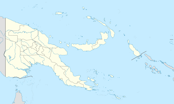 Abau District Location within Papua New Guinea | |
| Coordinates: 10°09′18″S 148°45′00″E / 10.155°S 148.750°E | |
| Country | Papua New Guinea |
| Province | Central Province |
| Capital | Abau |
| Area | |
| • Total | 7,124 km2 (2,751 sq mi) |
| Population (2011 census) | |
| • Total | 55,569 |
| • Density | 7.8/km2 (20/sq mi) |
| Languages | |
| • Main languages | Daga, Mailuan |
| Time zone | AEST (UTC+10) |
Abau District is a district of Central Province in Papua New Guinea. It is one of the four administrative districts that make up the province.
Local-level government areas
- Amazon Bay Rural
- Aroma Rural
- Cloudy Bay Rural
Towns and major villages
- Abau
- Amau
- Aroana
- Bailebo
- Bam
- Baramata
- Bomguina
- Borebo
- Boru
- Bukuku
- Cocoalands
- Darava
- Delebai
- Doma
- Domara
- Duramu
- Egala'auna
- Eunuoro Island
- Gaivakalana
- Ganai
- Gavuone
- Ianu
- Ilai
- Ilimorupu
- Iruone
- Kalapa
- Kapari
- Keagolo
- Kelekapana
- Kelerakwa
- Kupiano
- Kurere-Asiaro
- Lalaura
- Laruoro Island
- Loupom Island
- Magarida
- Magaubo
- Magore
- Mailu Island
- Manabo
- Maopa
- Mogubo
- Moreguina
- Nunumai
- Paramana
- Pelagai
- Sabiribo
- Si'ini
- Tutubu
- Upulima
- Viriolo
- Vuru
- Waiori
- Wairavanua
- Wanigela
- Wapagai
- Waro
- Wouoro
See also
References
 |
Rigo | Ijivitari | Alotau | |
| Rigo | |
Samarai-Murua | ||
| ||||
| | ||||
| Coral Sea | Kairuku-Hiri | Samarai-Murua |
| Abau |
| |
|---|---|---|
| Goilala | ||
| Kairuku |
| |
| Rigo |
| |
This article is issued from Wikipedia - version of the 2/5/2016. The text is available under the Creative Commons Attribution/Share Alike but additional terms may apply for the media files.