Goilala District
| Goilala District | |
|---|---|
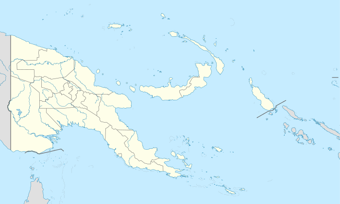 Goilala District Location within Papua New Guinea | |
| Coordinates: 8°21′32″S 147°01′52″E / 8.359°S 147.031°E | |
| Country | Papua New Guinea |
| Province | Central Province |
| Capital | Tapini |
| Area | |
| • Total | 7,587 km2 (2,929 sq mi) |
| Population (2011 census) | |
| • Total | 36,092 |
| • Density | 4.8/km2 (12/sq mi) |
| Languages | |
| • Main languages | Goilalan (Fuyuge, Tauade, Kunimaipa) |
| Time zone | AEST (UTC+10) |
| Website | www.goilala.com |
Goilala District is a district of Central Province in Papua New Guinea. It is one of the four administrative districts that make up the province.
Local-level government areas
- Guari Rural
- Tapini Rural
- Woitape Rural
Towns and major villages
- Aduai
- Aikora
- Avele
- Enaugagave
- Evese
- Fane
- Garima
- Gorowaku
- Henende
- Iguai
- Kambise
- Kase
- Kaugeri
- Kileipi
- Kodige
- Koefa
- Koilapo
- Kone
- Kosipe
- Loleava
- Mariboi
- Miku
- Mondo
- Omuitu
- Ononge
- Oro
- Rupila
- Songaku
- Sopu
- Sumbi
- Tapini
- Tatupiti
- Taveve
- Tawuni
- Tokio
- Torula
- Uruna
- Visi
- Woitape
- Yeme
- Yongai
- Yoribai
- Yulai
- Zania
- Zhake
- Ilide
See also
References
External links
 |
Kerema | Bulolo | Huon | |
| Kerema | |
Sohe | ||
| ||||
| | ||||
| Gulf of Papua | Kairuku-Hiri | Kairuku-Hiri |
This article is issued from Wikipedia - version of the 2/13/2015. The text is available under the Creative Commons Attribution/Share Alike but additional terms may apply for the media files.