Sidi Slimane, El Oued
For other uses, see Sidi Slimane.
| Sidi Slimane | |
|---|---|
| Village | |
 Sidi Slimane | |
| Coordinates: DZ 33°20′1″N 6°55′0″E / 33.33361°N 6.91667°ECoordinates: DZ 33°20′1″N 6°55′0″E / 33.33361°N 6.91667°E | |
| Country |
|
| Province | El Oued Province |
| District | Bayadha District |
| Commune | Bayadha[1] |
| Elevation | 84 m (276 ft) |
| Time zone | CET (UTC+1) |
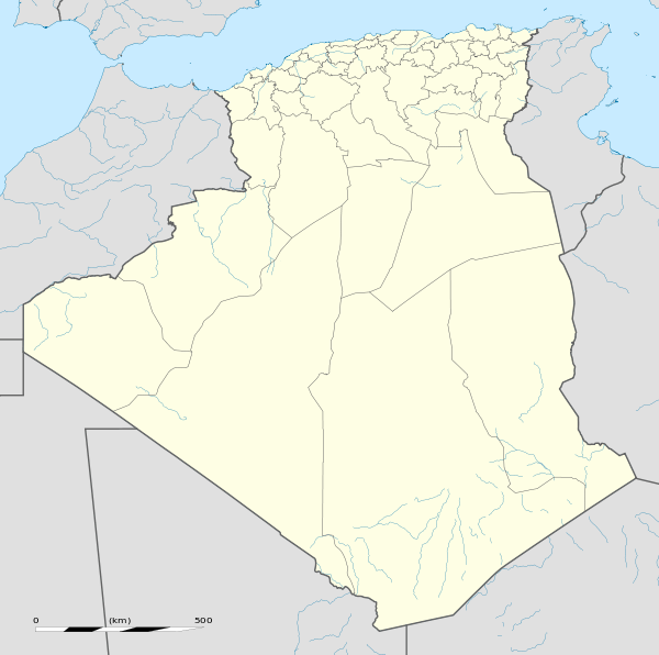
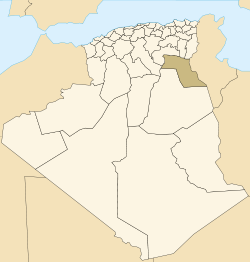
Sidi Slimane is a village in the commune of Bayadha,[1] in Bayadha District, El Oued Province, Algeria. The village is located 6 kilometres (3.7 mi) southeast of the provincial capital El Oued.[2]
References
- 1 2 "Décret n° 84-365, fixant la composition, la consistance et les limites territoriale des communes. Wilaya d'El Oued" (PDF) (in French). Journal officiel de la République Algérienne,. 19 December 1984. p. 1564. Archived from the original (PDF) on 2 March 2013 or before. Retrieved 2 March 2013. Check date values in:
|archive-date=(help) - ↑ "Sidi Slimane, Algeria". Geonames.org. Retrieved 27 April 2013.
Neighbouring towns and cities
 |
El Oued | Trifaoui | Taleb Larbi Lizerg |
|
| Ababsa | |
Douar El Ma | ||
| ||||
| | ||||
| Bayadha | Robbah | Nakhla |
This article is issued from Wikipedia - version of the 5/27/2013. The text is available under the Creative Commons Attribution/Share Alike but additional terms may apply for the media files.