Zubly Cemetery
|
Zubly Cemetery | |
 | |
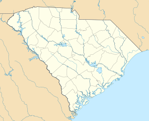  | |
| Location | Forrest Dr., Beech Island, South Carolina |
|---|---|
| Coordinates | 33°24′21″N 81°54′21″W / 33.40583°N 81.90583°WCoordinates: 33°24′21″N 81°54′21″W / 33.40583°N 81.90583°W |
| Area | less than one acre |
| Built | 1790 |
| NRHP Reference # | 01001548[1] |
| Added to NRHP | January 28, 2002 |
The Zubly Cemetery near Beech Island, South Carolina, which is a small community in Aiken County, South Carolina was established around 1790 by Swiss settlers of the nearby New Windsor Township.[2][3] It illustrates the vernacular burial customs of the period. The town of New Windsor, settled in 1737, eventually became an outpost for Indian traders. Zubly Cemetery was listed on the National Register of Historic Places on January 28, 2002.[1]
References
- 1 2 National Park Service (2010-07-09). "National Register Information System". National Register of Historic Places. National Park Service.
- ↑ Riley, Helene M.; Margaret Marion (January 23, 1999). "Zubly Cemetery" (pdf). National Register of Historic Places - Nomination and Inventory. Retrieved 27 November 2012.
- ↑ "Zubly Cemetery, Aiken County (Forrest Dr., Beech Island)". National Register Properties in South Carolina. South Carolina Department of Archives and History. Retrieved 27 November 2012.
External links
U.S. Geological Survey Geographic Names Information System: Zubly Cemetery
| Topics |  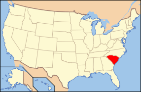 | |
|---|---|---|
| Lists by county |
| |
| Lists by city | ||
| Other lists | ||
This article is issued from Wikipedia - version of the 11/30/2016. The text is available under the Creative Commons Attribution/Share Alike but additional terms may apply for the media files.