Zhoda
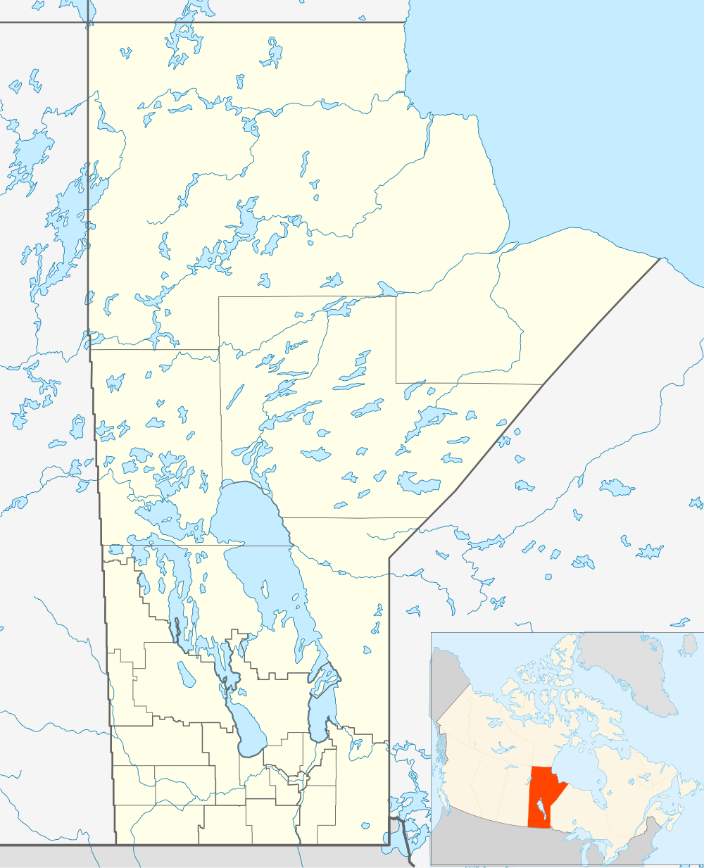

Zhoda is a community in southeastern Manitoba, Canada, approximately 20 km north of the town of Vita. Although "Zhoda Corner" is situated at the intersection of PTH 12 and Manitoba Provincial Road 302, in the Rural Municipality of La Broquerie, the "heart" of Zhoda is the area located near the Zhoda Community Hall and the Ukrainian Catholic Church in the centre of the community, which is also part of the Rural Municipality of Stuartburn.
Zhoda - meaning "agreement" in Ukrainian, was first settled mostly by Ukrainian farmers around 1909. Many families left farming and moved away, such that the current residents come from a variety of ethnic backgrounds. The area hosts a few businesses, including an auto shop, a well drilling business, a scrap recycling yard, a racehorse stable, several ranches, hobby farms and hog barns.
Climate
| Climate data for Zhoda | |||||||||||||
|---|---|---|---|---|---|---|---|---|---|---|---|---|---|
| Month | Jan | Feb | Mar | Apr | May | Jun | Jul | Aug | Sep | Oct | Nov | Dec | Year |
| Record high °C (°F) | 7 (45) |
11 (52) |
17 (63) |
31 (88) |
33.5 (92.3) |
36.5 (97.7) |
36 (97) |
38.5 (101.3) |
32 (90) |
30.5 (86.9) |
19.5 (67.1) |
7.5 (45.5) |
38.5 (101.3) |
| Average high °C (°F) | −11 (12) |
−6.8 (19.8) |
0.6 (33.1) |
10.5 (50.9) |
19.2 (66.6) |
23.2 (73.8) |
25.1 (77.2) |
25 (77) |
18.4 (65.1) |
10.5 (50.9) |
−1.4 (29.5) |
−8.4 (16.9) |
8.7 (47.7) |
| Daily mean °C (°F) | −16.6 (2.1) |
−12.4 (9.7) |
−4.6 (23.7) |
4.3 (39.7) |
12.3 (54.1) |
16.9 (62.4) |
18.8 (65.8) |
18.2 (64.8) |
12.2 (54) |
5.1 (41.2) |
−5.5 (22.1) |
−13.1 (8.4) |
3 (37) |
| Average low °C (°F) | −22.1 (−7.8) |
−18 (0) |
−9.7 (14.5) |
−1.9 (28.6) |
5.5 (41.9) |
10.6 (51.1) |
12.5 (54.5) |
11.4 (52.5) |
6 (43) |
−0.4 (31.3) |
−9.7 (14.5) |
−17.7 (0.1) |
−2.8 (27) |
| Record low °C (°F) | −43 (−45) |
−45 (−49) |
−37.5 (−35.5) |
−22.5 (−8.5) |
−8 (18) |
−2 (28) |
2 (36) |
0 (32) |
−8 (18) |
−22 (−8) |
−39.5 (−39.1) |
−41 (−42) |
−45 (−49) |
| Average precipitation mm (inches) | 20.8 (0.819) |
17.9 (0.705) |
22 (0.87) |
31.1 (1.224) |
61.7 (2.429) |
101.1 (3.98) |
89.3 (3.516) |
72.4 (2.85) |
65.4 (2.575) |
46.4 (1.827) |
30.6 (1.205) |
22 (0.87) |
580.6 (22.858) |
| Source: Environment Canada[1] | |||||||||||||
References
Division 1, Manitoba (Eastern Manitoba) | ||
|---|---|---|
| Towns | 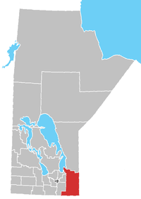 | |
| Local government districts | ||
| Rural municipalities | ||
| First Nations | ||
| Indian reserves |
| |
| Unorganized areas | ||
| Unincorporated communities | ||
| Cities |  | |
|---|---|---|
| Towns | ||
| Villages | ||
| Rural municipalities | ||
| First Nations | ||
| Indian reserves | ||
| Unincorporated communities | ||
Coordinates: 49°17′04″N 96°30′38″W / 49.28444°N 96.51056°W
