Zabrđe (Kotor Varoš)
| Zabrđe | |
|---|---|
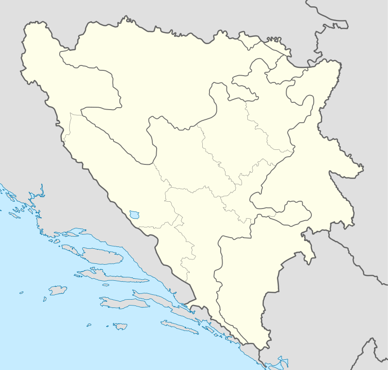 Zabrđe Location in Bosnia and Herzegovina | |
| Coordinates: 44°39′10″N 17°21′35″E / 44.65278°N 17.35972°ECoordinates: 44°39′10″N 17°21′35″E / 44.65278°N 17.35972°E | |
| Country | Bosnia and Herzegovina |
| Entity | Republika Srpska |
| Municipality | Kotor Varoš |
| Elevation | 292 m (958 ft) |
| Population | |
| • Total | 611 |
Zabrđe is a populated place in the Kotor Varoš municipality of central Republika Srpska, Bosnia and Herzegovina.[1][2][3][4]
Population
| Zabrđe[5][6] | ||||||
| Census Year | 1991 | 1981 | 1971 | |||
| Croats | 1,129 (97.83%) | 944 (93.37%) | 849 (96.36%) | |||
| Serbs | 9 (0.77%) | 20 (1.97%) | 20 (2.27%) | |||
| Moslems | 1 (0.08%) | 1 (0.09%) | 2 (0.22%) | |||
| Yugoslavians | 6 (0.51%) | 19 (1.87%) | 0 | |||
| Others and unknown | 9 (0.77%) | 27 (2.67%) | 10 (1.13%) | |||
| Total | 1,154 | 1,011 | 881 | |||
See also
References
- ↑ Vojnogeografski institut, Ed. (1955): Prnjavor (List karte 1:100.000, Izohipse na 20 m). Vojnogeografski institut, Beograd.
- ↑ Spahić M. et al. (2000): Bosna i Hercegovina (1:250.000). Izdavačko preduzeće „Sejtarija“, Sarajevo.
- ↑ kartabih
- ↑ Mučibabić B., Ed. (1998): Geografski atlas Bosne i Hercegovine. Geodetski zavod BiH, Sarajevo, ISBN 9958-766-00-0.
- ↑ Book: Nacionalni sastav stanovništva - Rezultati za Republiku po opštinama i naseljenim mjestima 1991., statistički bilten br. 234, Izdanje Državnog zavoda za statistiku Republike Bosne i Hercegovine, Sarajevo.
- ↑ Internet – Source: "Popis po mjesnim zajednicama" - http://www.fzs.ba/Podaci/nacion%20po%20mjesnim.pdf
This article is issued from Wikipedia - version of the 1/24/2015. The text is available under the Creative Commons Attribution/Share Alike but additional terms may apply for the media files.