Woodbastwick
| Woodbastwick | |
 Woodbastwick Village Green |
|
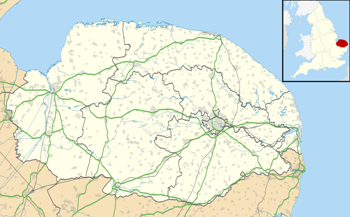 Woodbastwick |
|
| Area | 19.04 km2 (7.35 sq mi) |
|---|---|
| Population | 399 (2011)[1] |
| – density | 21/km2 (54/sq mi) |
| OS grid reference | TG331152 |
| Civil parish | Woodbastwick |
| District | Broadland |
| Shire county | Norfolk |
| Region | East |
| Country | England |
| Sovereign state | United Kingdom |
| Post town | NORWICH |
| Postcode district | NR13 |
| Police | Norfolk |
| Fire | Norfolk |
| Ambulance | East of England |
| EU Parliament | East of England |
Coordinates: 52°41′03″N 1°26′50″E / 52.68430°N 1.44730°E
Woodbastwick /ˈwʊdbæstwɪk/is a village and civil parish in the English county of Norfolk. It is located on the River Bure between Cockshoot Broad and Salhouse Broad, within The Broads and close to Bure Marshes NNR (national nature reserve). The city of Norwich lies 10 kilometres (6.2 mi) to the south-east.[2]
The village name relates to bast, a pliable substance found under the bark of the lime tree. Danish and Saxon invaders used bast as a form of binding to tie leggings and other items. As a consequence, Woodbastwick's village sign shows two invaders tying their leggings.
Woodbastwick is an attractive village with thatched houses set around a village green, and the church of St Fabian & St Sebastian, also thatched. The Woodforde Broadland Brewery is located in the village and produces cask ales such as Wherry Bitter, Nelson's Revenge, Norfolk Nog and Headcracker.
The civil parish has an area of 19.04 km2 (7.35 sq mi) and in the 2001 census had a population of 362 in 157 households, increasing to a population of 399 in 168 households at the 2011 Census. For the purposes of local government, the parish falls within the district of Broadland.[3] Woodbastwick Hall is the seat of the Cator family.[4]
References
- ↑ "Civil Parish population 2011". Neighbourhood Statistics. Office for National Statistics. Retrieved 15 August 2016.
- ↑ Ordnance Survey (2005). OS Explorer Map OL40 - The Broads. ISBN 0-319-23769-9.
- ↑ Office for National Statistics & Norfolk County Council (2001). Census population and household counts for unparished urban areas and all parishes. Retrieved December 2, 2005.
- ↑ "Norfolk's High Sheriff Henry Cator launches charity in event at Woodbastwick Hall". EDP24. 23 November 2012. Retrieved 10 August 2013.
External links
| Wikimedia Commons has media related to Woodbastwick. |
- Map sources for Woodbastwick.
- Woodbastwick Church and the Broadside Benefice Parishes
- Information from Genuki Norfolk on Woodbastwick.
- NorfolkCoast.co.uk on Woodbastwick.