Wood Dalling
| Wood Dalling | |
 St Andrew, Wood Dalling |
|
 Wood Dalling |
|
| Area | 9.89 km2 (3.82 sq mi) |
|---|---|
| Population | 209 (2011)[1] |
| – density | 21/km2 (54/sq mi) |
| OS grid reference | TG089270 |
| Civil parish | Wood Dalling |
| District | Broadland |
| Shire county | Norfolk |
| Region | East |
| Country | England |
| Sovereign state | United Kingdom |
| Post town | NORWICH |
| Postcode district | NR11 |
| Police | Norfolk |
| Fire | Norfolk |
| Ambulance | East of England |
| EU Parliament | East of England |
Coordinates: 52°48′00″N 1°05′50″E / 52.80009°N 1.09736°E
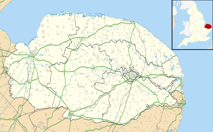
Wood Dalling is a village and civil parish in the English county of Norfolk. It is situated some 20 kilometres (12 mi) east of Fakenham, 20 km (12 mi) south-west of Cromer, and 30 km (19 mi) north-west of Norwich.[2]
The civil parish has an area of 9.89 km2 (3.82 sq mi) and in the 2001 census had a population of 181 in 78 households, increasing to a population of 209 in 91 households at the 2011 census. For the purposes of local government, the parish falls within the district of Broadland.[3]
Notes
- ↑ "Civil Parish population 2011". Neighbourhood Statistics. Office for National Statistics. Retrieved 15 August 2016.
- ↑ Ordnance Survey (1999). OS Explorer Map 238 - East Dereham & Aylsham. ISBN 0-319-21869-4.
- ↑ Office for National Statistics & Norfolk County Council (2001). Census population and household counts for unparished urban areas and all parishes. Retrieved December 2, 2005.
External links
| Wikimedia Commons has media related to Wood Dalling. |
- Map sources for Wood Dalling.
- Information from Genuki Norfolk on Wood Dalling.
This article is issued from Wikipedia - version of the 8/15/2016. The text is available under the Creative Commons Attribution/Share Alike but additional terms may apply for the media files.