Wila Lluxita (Murillo)
For the mountain in the Larecaja Province, La Paz Department, Bolivia, see Wila Lluxita.
| Wila Lluxita | |
|---|---|
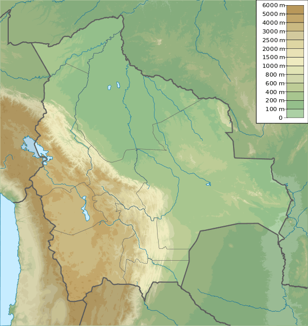 Wila Lluxita Location in Bolivia | |
| Highest point | |
| Elevation | 5,020 m (16,470 ft) [1] |
| Coordinates | 16°06′53″S 68°13′52″W / 16.11472°S 68.23111°WCoordinates: 16°06′53″S 68°13′52″W / 16.11472°S 68.23111°W |
| Geography | |
| Location |
Bolivia, La Paz Department, Murillo Province |
| Parent range | Andes, Cordillera Real |
Wila Lluxita (Aymara wila red, blood, lluxi landslide,[2] -ta a suffix, also spelled Wila Llojeta) is a mountain in the Cordillera Real in the Andes of Bolivia, about 5,020-metre (16,470 ft) high. It is situated in the La Paz Department, Murillo Province, La Paz Municipality, near the border with the Los Andes Province, Pucarani Municipality. Wila Lluxita lies south-west of the mountain Janq'u K'ark'a.
The river Wila Lluxita (Huila Llojeta) which later is called Sunqu (Zongo) originates south of the mountain. It flows to the east and then north-east.[1][3]
References
This article is issued from Wikipedia - version of the 12/7/2015. The text is available under the Creative Commons Attribution/Share Alike but additional terms may apply for the media files.