Wedington Woods, Arkansas
| Wedington Woods, Arkansas | |
|---|---|
| Unincorporated community | |
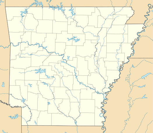 Wedington Woods, Arkansas Wedington Woods' position in Arkansas. | |
| Coordinates: 36°5′40″N 94°18′37″W / 36.09444°N 94.31028°WCoordinates: 36°5′40″N 94°18′37″W / 36.09444°N 94.31028°W | |
| Country |
|
| State |
|
| County | Washington |
| Township | Litteral |
| Area[1] | |
| • Total | 1.911 sq mi (4.95 km2) |
| Elevation[2] | 1,152 ft (351 m) |
| Time zone | Central (CST) (UTC-6) |
| • Summer (DST) | CDT (UTC-5) |
| ZIP code | 72704 |
| Area code(s) | 479 |
| GNIS feature ID | 65485 |
| U.S. Geological Survey Geographic Names Information System: Wedington Woods, Arkansas | |
Wedington Woods is an unincorporated community in Litteral Township, Washington County, Arkansas, United States.[3] It is located west of Fayetteville north of Wedington Drive.[4] A small grass airport exists named Wedington Woods Airport.
References
- ↑ "Wedington Woods neighborhood in Fayetteville, Arkansas (AR), 72704 detailed profile". Urban Mapping Inc. Retrieved 2 September 2011.
- ↑ "Wedington Woods, Arkansas". Histopolis. Retrieved 2 September 2011.
- ↑ U.S. Geological Survey Geographic Names Information System: Wedington Woods, Arkansas United States Geological Survey. Retrieved 2 September 2011.
- ↑ Arkansas Atlas and Gazetteer (Map) (Second ed.). DeLorme. § 22.

This article is issued from Wikipedia - version of the 2/11/2014. The text is available under the Creative Commons Attribution/Share Alike but additional terms may apply for the media files.