Wauwinet, Massachusetts
| Wauwinet | |
|---|---|
| Village | |
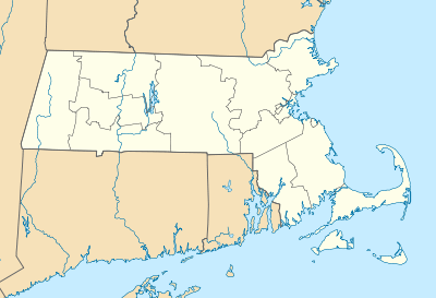 Wauwinet Location within the state of Massachusetts | |
| Coordinates: 41°19′45″N 69°59′46″W / 41.32917°N 69.99611°WCoordinates: 41°19′45″N 69°59′46″W / 41.32917°N 69.99611°W | |
| Country | United States |
| State | Massachusetts |
| County | Nantucket |
| Elevation | 3 ft (0.9 m) |
| Time zone | Eastern (EST) (UTC-5) |
| • Summer (DST) | EDT (UTC-4) |
| ZIP codes | 02584 |
| GNIS feature ID | 616971[1] |
Wauwinet is a village in Nantucket, Massachusetts, United States. Its elevation is 3 feet (1 m). Named for an old local Indian chief, it lies on the northeastern coast of Nantucket Island, 4.7 miles (7.5 km) north-northwest of Siasconset.[1] There is an upscale hotel and restaurant just north of the Gatehouse that features both harbor and oceanfront beach activities. Beyond Wauwinet is access by Four Wheel Drive only to Great Point lighthouse and Coatue.
References
- 1 2 "Wauwinet, Massachusetts". Geographic Names Information System. United States Geological Survey. Retrieved 29 January 2008.
Municipalities and communities of the Town & County of Nantucket, Massachusetts, United States | ||
|---|---|---|
| Town |  | |
| CDPs | ||
| Other villages | ||
This article is issued from Wikipedia - version of the 10/26/2014. The text is available under the Creative Commons Attribution/Share Alike but additional terms may apply for the media files.