Upper Stewiacke
| Upper Stewiacke | |
|---|---|
| Village | |
 Upper Stewiacke | |
| Coordinates: 45°08′N 62°35′W / 45.13°N 62.59°W | |
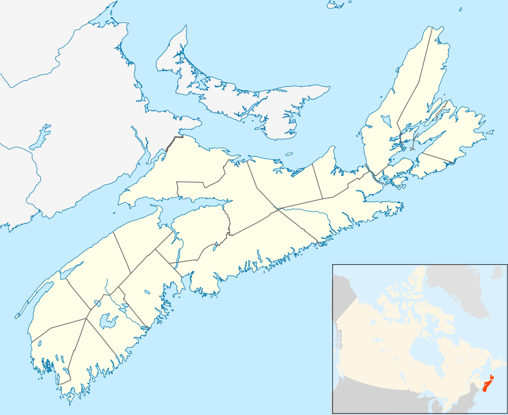
| Country |
|
| Province |
|
| Founded | 1783 |
| Government | |
| Population | |
| • Total | 1,200 |
| Time zone | AST |
| Website | http://www.upperstewiacke.com/ |
Upper Stewiacke is a small community located in Colchester County in central Nova Scotia. Upper Stewiacke can be reached by road via Route 289. Upper Stewiacke was founded in 1783 by Matthew Johnson, son of James Johnson, a Grantee of Truro, Nova Scotia. Johnson's supplies had come from Truro, some 20 miles away. In 1983, a special event and reenactment was held to mark the 200th Anniversary of the arrival of Matthew Johnson and his wife Ruth (née Fisher).
Notable residents
- James F. Ellis, physician and political figure
- Upper Stewiacke was the birthplace of Lyle Creelman (1908-1997), the first Canadian nurse to ever work for the World Health Organization.[1]
Navigator
 |
Via Pembroke Rd. |
Sheepherders Junction, Nova Scotia New Glasgow, Nova Scotia Via |
| |
| Otter Brook, Nova Scotia Brookfield, Nova Scotia Via |
|
|||
| ||||
| | ||||
| Upper Musquodoboit, Nova Scotia Via Stewart Hill Rd. To |
Climate
| Climate data for Upper Stewiacke, 1981–2010 normals, extremes 1915–present | |||||||||||||
|---|---|---|---|---|---|---|---|---|---|---|---|---|---|
| Month | Jan | Feb | Mar | Apr | May | Jun | Jul | Aug | Sep | Oct | Nov | Dec | Year |
| Record high °C (°F) | 16.5 (61.7) |
16.7 (62.1) |
25.7 (78.3) |
28.8 (83.8) |
34.4 (93.9) |
34.4 (93.9) |
35.0 (95) |
36.1 (97) |
33.3 (91.9) |
29.4 (84.9) |
21.7 (71.1) |
17.8 (64) |
36.1 (97) |
| Average high °C (°F) | −1.5 (29.3) |
−0.4 (31.3) |
3.5 (38.3) |
9.3 (48.7) |
16.0 (60.8) |
21.1 (70) |
24.7 (76.5) |
24.3 (75.7) |
20.1 (68.2) |
13.7 (56.7) |
7.5 (45.5) |
1.9 (35.4) |
11.7 (53.1) |
| Daily mean °C (°F) | −6.8 (19.8) |
−5.8 (21.6) |
−1.6 (29.1) |
4.2 (39.6) |
9.9 (49.8) |
14.7 (58.5) |
18.4 (65.1) |
18.1 (64.6) |
14.0 (57.2) |
8.3 (46.9) |
3.3 (37.9) |
−2.8 (27) |
6.2 (43.2) |
| Average low °C (°F) | −12.0 (10.4) |
−11.1 (12) |
−6.6 (20.1) |
−0.9 (30.4) |
3.7 (38.7) |
8.3 (46.9) |
12.1 (53.8) |
11.9 (53.4) |
7.9 (46.2) |
2.9 (37.2) |
−0.9 (30.4) |
−7.4 (18.7) |
0.7 (33.3) |
| Record low °C (°F) | −41.1 (−42) |
−38.9 (−38) |
−30.5 (−22.9) |
−26.7 (−16.1) |
−8.3 (17.1) |
−3.9 (25) |
−1.7 (28.9) |
−1.7 (28.9) |
−7.2 (19) |
−10.0 (14) |
−24.4 (−11.9) |
−36.0 (−32.8) |
−41.1 (−42) |
| Average precipitation mm (inches) | 127.8 (5.031) |
102.7 (4.043) |
119.3 (4.697) |
94.9 (3.736) |
98.7 (3.886) |
92.1 (3.626) |
98.8 (3.89) |
98.1 (3.862) |
104.3 (4.106) |
114.9 (4.524) |
129 (5.08) |
141.2 (5.559) |
1,321.8 (52.039) |
| Average rainfall mm (inches) | 66.2 (2.606) |
59.2 (2.331) |
79.4 (3.126) |
88.1 (3.469) |
98.4 (3.874) |
98.4 (3.874) |
94.6 (3.724) |
94.4 (3.717) |
113.6 (4.472) |
109.9 (4.327) |
122.7 (4.831) |
90.7 (3.571) |
1,115.5 (43.917) |
| Average snowfall cm (inches) | 71.4 (28.11) |
53.5 (21.06) |
45.5 (17.91) |
13.3 (5.24) |
0.5 (0.2) |
0.0 (0) |
0.0 (0) |
0.0 (0) |
0.0 (0) |
0.1 (0.04) |
13.2 (5.2) |
50.6 (19.92) |
248.1 (97.68) |
| Source: Environment Canada[2][3][4] | |||||||||||||
References
- ↑ Vern L. Bullough, American Nursing: A Biographical Dictionary:, Volume 3, Springer Publishing Company, Jan 1, 2004, p. 61
- ↑ Environment Canada Canadian Climate Normals 1981–2010, accessed 16 May 2016
- ↑ Environment Canada Canadian Climate Data, accessed 16 May 2016
- ↑ Environment Canada Canadian Climate Data, accessed 16 May 2016
External links
| Counties | |
|---|---|
| Economic Regions | |
| Regional municipalities | |
| Municipal districts | |
| Towns | |
| Incorporated villages | |
| Lists | |
| |
Coordinates: 45°13′11.4″N 62°59′19.8″W / 45.219833°N 62.988833°W
This article is issued from Wikipedia - version of the 6/14/2016. The text is available under the Creative Commons Attribution/Share Alike but additional terms may apply for the media files.