Greenwood, Nova Scotia
| Greenwood | ||
|---|---|---|
| Village | ||
| ||
| Nickname(s): The Valley's Hidden Jewel - G-wood - GWD | ||
 Greenwood Location of Greenwood, Nova Scotia | ||
| Coordinates: 44°58′19″N 64°56′5″W / 44.97194°N 64.93472°W | ||
| Country |
| |
| Province |
| |
| County | Kings County | |
| Founded | 1770 | |
| Incorporated Village | 1961 | |
| Electoral Districts Federal |
West Nova | |
| Provincial | Kings West | |
| Government | ||
| • Type | Village Commission | |
| • Greenwood Village Commission | Chair | |
| Elevation | 28 m (92 ft) | |
| Population (2011)[1] | ||
| • Total | 5,369 | |
| Time zone | AST (UTC-4) | |
| • Summer (DST) | ADT (UTC-3) | |
| Canadian postal code | B0P 1N0 & B0P 1R0 | |
| Area code(s) | 902 | |
| Telephone Exchange | 242, 760, 765, 804, 996 | |
| NTS Map | 021A15 | |
| GNBC Code | CAORH | |
| Website |
greenwood novascotia.com | |

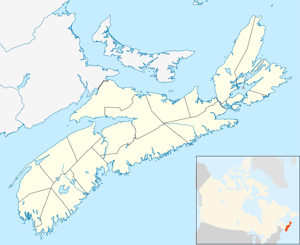
Coordinates: 44°58′19″N 64°56′5″W / 44.97194°N 64.93472°W Greenwood is a village located in the western part of Kings County in Nova Scotia's Annapolis Valley.
History
Greenwood was a small hamlet south of the Dominion Atlantic Railway's Kingston Station. In 1942, the Royal Air Force established RAF Station Greenwood and built an aerodrome on nearby farmland to provide a facility for training aircrew under the British Commonwealth Air Training Plan. The Royal Canadian Air Force took over the facility in 1944, renaming it RCAF Station Greenwood, a name it maintained until the February 1, 1968 unification of the Canadian Forces which saw the airfield and associated facilities renamed CFB Greenwood. In July 1997 the air base became one of eleven operational wings in Canada, and was designated as 14 Wing Greenwood.
During the 1970s–2000s, the village of Greenwood expanded in population as numerous other air force bases in eastern Canada closed and their aircraft and personnel consolidated at CFB Greenwood. Much of the housing in the heart of Greenwood is for the military families stationed at the base, and has been referred to by the local populace as the "PMQs", (Permanent Military Quarters). Most of the non-military housing for the village is located on the outskirts.
Today, the village and base's combined population numbers approximately 5,400. The village hosts numerous services and is also the location of the Greenwood Mall, the largest shopping mall in the Annapolis Valley. In 2015 it was renovated to accommodate a new department store, which has reinvigorated the shopping centre.
Schools
Climate
| Climate data for Greenwood Airport, 1981–2010 normals, extremes 1942–present | |||||||||||||
|---|---|---|---|---|---|---|---|---|---|---|---|---|---|
| Month | Jan | Feb | Mar | Apr | May | Jun | Jul | Aug | Sep | Oct | Nov | Dec | Year |
| Record high humidex | 21.4 | 18.0 | 28.0 | 33.8 | 36.2 | 40.3 | 44.2 | 44.6 | 40.9 | 35.1 | 28.6 | 23.6 | 44.6 |
| Record high °C (°F) | 18.8 (65.8) |
17.8 (64) |
25.8 (78.4) |
30.3 (86.5) |
33.8 (92.8) |
35.0 (95) |
35.6 (96.1) |
37.2 (99) |
34.1 (93.4) |
27.8 (82) |
23.0 (73.4) |
19.5 (67.1) |
37.2 (99) |
| Average high °C (°F) | −0.6 (30.9) |
0.3 (32.5) |
4.3 (39.7) |
10.6 (51.1) |
17.4 (63.3) |
22.4 (72.3) |
25.8 (78.4) |
25.1 (77.2) |
20.6 (69.1) |
14.2 (57.6) |
8.3 (46.9) |
2.6 (36.7) |
12.6 (54.7) |
| Daily mean °C (°F) | −5.5 (22.1) |
−4.9 (23.2) |
−0.7 (30.7) |
5.3 (41.5) |
11.2 (52.2) |
16.2 (61.2) |
19.7 (67.5) |
18.9 (66) |
14.5 (58.1) |
8.7 (47.7) |
4.0 (39.2) |
−1.9 (28.6) |
7.1 (44.8) |
| Average low °C (°F) | −10.4 (13.3) |
−10.0 (14) |
−5.7 (21.7) |
0.0 (32) |
5.0 (41) |
9.9 (49.8) |
13.5 (56.3) |
12.6 (54.7) |
8.3 (46.9) |
3.2 (37.8) |
−0.5 (31.1) |
−6.3 (20.7) |
1.6 (34.9) |
| Record low °C (°F) | −28.9 (−20) |
−35.5 (−31.9) |
−27.2 (−17) |
−13.4 (7.9) |
−7.2 (19) |
−1.7 (28.9) |
2.8 (37) |
0.2 (32.4) |
−4.4 (24.1) |
−8.9 (16) |
−16.2 (2.8) |
−26.1 (−15) |
−35.5 (−31.9) |
| Record low wind chill | −42.3 | −39.0 | −31.1 | −25.1 | −10.6 | −2.3 | 0.0 | 0.0 | −4.8 | −11.2 | −21.3 | −35.4 | −42.3 |
| Average precipitation mm (inches) | 102.5 (4.035) |
84.8 (3.339) |
94.8 (3.732) |
83.2 (3.276) |
84.8 (3.339) |
81.0 (3.189) |
83.2 (3.276) |
78.4 (3.087) |
96.2 (3.787) |
98.8 (3.89) |
116.5 (4.587) |
112.9 (4.445) |
1,117.1 (43.98) |
| Average rainfall mm (inches) | 44.5 (1.752) |
45.5 (1.791) |
58.8 (2.315) |
67.8 (2.669) |
83.4 (3.283) |
81.0 (3.189) |
83.2 (3.276) |
78.4 (3.087) |
96.2 (3.787) |
98.6 (3.882) |
100.7 (3.965) |
65.6 (2.583) |
903.5 (35.571) |
| Average snowfall cm (inches) | 78.7 (30.98) |
53.0 (20.87) |
43.4 (17.09) |
15.1 (5.94) |
1.1 (0.43) |
0.0 (0) |
0.0 (0) |
0.0 (0) |
0.0 (0) |
0.2 (0.08) |
16.4 (6.46) |
62.8 (24.72) |
270.7 (106.57) |
| Average precipitation days (≥ 0.2 mm) | 19.5 | 15.4 | 15.3 | 14.3 | 13.9 | 13.7 | 11.2 | 10.4 | 11.0 | 13.5 | 15.8 | 18.9 | 172.8 |
| Average rainy days (≥ 0.2 mm) | 7.2 | 6.1 | 8.8 | 12.1 | 13.8 | 13.7 | 11.2 | 10.4 | 11.0 | 13.5 | 13.9 | 10.6 | 132.3 |
| Average snowy days (≥ 0.2 cm) | 16.7 | 12.9 | 10.4 | 4.6 | 0.47 | 0.0 | 0.0 | 0.0 | 0.0 | 0.17 | 4.1 | 12.5 | 61.8 |
| Average relative humidity (%) (at 15:00 LST) | 76.8 | 72.3 | 65.3 | 57.5 | 55.0 | 56.2 | 56.1 | 55.9 | 58.4 | 61.1 | 70.5 | 76.2 | 63.4 |
| Source: Environment Canada[2][3][4][5] | |||||||||||||
References
- ↑ "Browse Data by Community Profile, 2011 and 2006 censuses (Nova Scotia)". Government of Nova Scotia. December 18, 2012. Retrieved January 29, 2013.
- ↑ "Greenwood A, Nova Scotia". Canadian Climate Normals 1981–2010. Environment Canada. Retrieved 12 April 2015.
- ↑ "Greenwood A, Nova Scotia". Canadian Climate Normals 1981–2010. Environment Canada. Retrieved 12 April 2015.
- ↑ "March 2012". Canadian Climate Data. Environment Canada. Retrieved 21 May 2016.
- ↑ "Hourly Data Report for March 22, 2012". Canadian Climate Data. Environment Canada. Retrieved 21 May 2016.
| Counties | |
|---|---|
| Economic Regions | |
| Regional municipalities | |
| Municipal districts | |
| Towns | |
| Incorporated villages | |
| Lists | |
| |