Two Brothers Rocks-Dudley Road Historic District
|
Two Brothers Rocks-Dudley Road Historic District | |
 | |
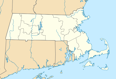  | |
| Location | Bedford and Billerica, Massachusetts |
|---|---|
| Coordinates | 42°31′14″N 71°18′11″W / 42.520494°N 71.302968°WCoordinates: 42°31′14″N 71°18′11″W / 42.520494°N 71.302968°W |
| NRHP Reference # | [1] |
| Added to NRHP | September 23, 2010 |
The Two Brothers Rocks-Dudley Road Historic District encompasses a historically significant rural area of Bedford and Billerica, Massachusetts. The district covers 230 acres (93 ha) of predominantly rural and residential property, along Dudley Street, a narrow, winding road that was laid out in colonial days. It also includes a significant amount of conservation land, including local, state, and federal lands. The federal lands of the Great Meadows National Wildlife Refuge which line the banks of the Concord River, include the "Two Brothers Rocks", which were used to mark a land boundary between grants given to early Massachusetts settlers John Winthrop and Thomas Dudley, and which featured as boundary markers into the 20th century.[2]
The district was listed on the National Register of Historic Places in 2010.[1] The Two Brothers Rocks are accessible either via watercraft on the Concord River, or by trails through Bedford's Altmann Conservation Area.[3]
See also
References
- 1 2 National Park Service (2008-04-15). "National Register Information System". National Register of Historic Places. National Park Service.
- ↑ "NRHP nomination for Two Brothers Rocks-Dudley Road Historic District". Commonwealth of Massachusetts. Retrieved 2014-01-28.
- ↑ "Map of Altmann Conservation Area" (PDF). Town of Bedford. Retrieved 2014-01-28.

Winthrop 1638 rock 
Dudley 1638 rock 
Two Brothers Rocks,
Dudley Rock is in the foreground and Winthrop Rock in the background
| Topics | 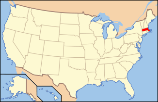 | ||||||||||||||||||||||||||||||
|---|---|---|---|---|---|---|---|---|---|---|---|---|---|---|---|---|---|---|---|---|---|---|---|---|---|---|---|---|---|---|---|
| Lists by county | |||||||||||||||||||||||||||||||
| Lists by city |
| ||||||||||||||||||||||||||||||
| Other lists | |||||||||||||||||||||||||||||||
| |||||||||||||||||||||||||||||||