Torsa
| Gaelic name | Torsa |
|---|---|
| Norse name | Torsey/Þorirsey |
| Meaning of name | "Thorir's island" (Norse via Gaelic) |
| Location | |
 Torsa Torsa shown within Argyll and Bute | |
| OS grid reference | NM762130 |
| Physical geography | |
| Island group | Slate Islands |
| Area | 113 hectares (0.44 sq mi) |
| Area rank | 143 [1] |
| Highest elevation | 62 metres (203 ft) |
| Administration | |
| Sovereign state | United Kingdom |
| Country | Scotland |
| Council area | Argyll and Bute |
| Demographics | |
| Population | 0 |
| References | [2][3][4][5] |
Torsa (occasionally Torsay) is one of the Slate Islands in Argyll and Bute, Scotland.

Lying east of Luing and south of Seil, the island was inhabited until the 1960s. There is now only one house on the island, which is used for holiday lets.[6] Its main industry is farming, with cattle brought over from the neighbouring island of Luing. The Luing cattle were bred for their hardiness.
The island is connected to its smaller partner, Torsa Beag (Gaelic for little Torsa). In the bay beyond is a suspected crannog.
The island is best known for the ruined sixteenth-century hunting lodge Caisteal nan Con. This is known locally as the Castle of the Dogs. It is doubtful that the castle would have originally been built as a hunting lodge, as it is in a very fine defensive position built upon a sheer rocky outcrop overlooking the sea on three sides. However, over time this may have become the final use of the building before falling into disrepair.
Footnotes
- ↑ Area and population ranks: there are c. 300 islands over 20 ha in extent and 93 permanently inhabited islands were listed in the 2011 census.
- ↑ 2001 UK Census per List of islands of Scotland
- ↑ Haswell-Smith, Hamish (2004). The Scottish Islands. Edinburgh: Canongate. ISBN 978-1-84195-454-7.
- ↑ Ordnance Survey
- ↑ Iain Mac an Tailleir. "Placenames" (PDF). Pàrlamaid na h-Alba. Retrieved 2007-07-28.
- ↑ "Torsa Island Website & Gallery". Retrieved 2007-07-28.
| Wikimedia Commons has media related to Torsa. |
Inhabited islands of the Hebrides | ||
|---|---|---|
| Inner Hebrides | 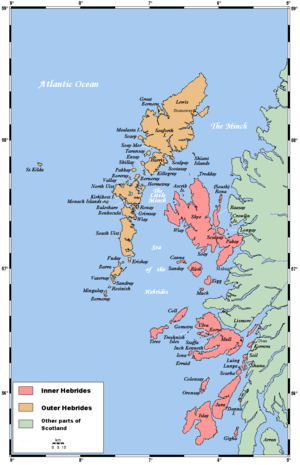 | |
| Outer Hebrides | ||
Coordinates: 56°15′26″N 5°37′0″W / 56.25722°N 5.61667°W