Thornbury, Victoria
| Thornbury Melbourne, Victoria | |||||||||||||
|---|---|---|---|---|---|---|---|---|---|---|---|---|---|
 Thornbury | |||||||||||||
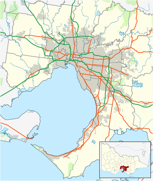
| Coordinates | 37°45′36″S 145°00′25″E / 37.76°S 145.007°ECoordinates: 37°45′36″S 145°00′25″E / 37.76°S 145.007°E | ||||||||||||
| Population | 17,434 (2011 census)[1] | ||||||||||||
| • Density | 3,350/km2 (8,680/sq mi) | ||||||||||||
| Postcode(s) | 3071 | ||||||||||||
| Area | 5.2 km2 (2.0 sq mi) | ||||||||||||
| Location | 7 km (4 mi) from Melbourne | ||||||||||||
| LGA(s) | City of Darebin | ||||||||||||
| State electorate(s) | Northcote | ||||||||||||
| Federal Division(s) | Batman | ||||||||||||
| |||||||||||||
Thornbury (![]() original[nb 1] pronunciation ) is a suburb of Melbourne, Victoria, Australia, 7 km north of Melbourne's Central Business District. Its local government area is the City of Darebin. At the 2011 census, Thornbury had a population of 17,434. Thornbury is bordered by the Merri Creek to the west, and the Darebin Creek to the east. The heart of Thornbury is known as Thornbury Village,[2] and is located at the centre of Thornbury at the intersection of High Street and Normanby Avenue/Clarendon Street.
original[nb 1] pronunciation ) is a suburb of Melbourne, Victoria, Australia, 7 km north of Melbourne's Central Business District. Its local government area is the City of Darebin. At the 2011 census, Thornbury had a population of 17,434. Thornbury is bordered by the Merri Creek to the west, and the Darebin Creek to the east. The heart of Thornbury is known as Thornbury Village,[2] and is located at the centre of Thornbury at the intersection of High Street and Normanby Avenue/Clarendon Street.
Thornbury is shaped as a thin strip of land sandwiched between Northcote and Preston. Its east-west width being over six times greater than its north-south width. For 111 years Thornbury was part of the former City of Northcote Local Government Area, which existed from 1883 until June 1994. As such, Thornbury is universally understood to be a demographic and commercial satellite of Northcote, along with Westgarth, although the latter does not have its own postcode. Whilst both Westgarth and Thornbury each have their own distinct central hub, unlike Westgarth, the majority of Thornbury is too far away from its centre for the whole of Thornbury to ever be able to develop its own separate identity.
Industry
Even with gentrification, Thornbury has a long line of industry near Dundas street(the border between Thornbury and Preston) and Station street. It consists mainly of warehouses and scrap metal yards, with a few metal recycling centres and factories. Despite a general decline in manufacturing in Melbourne, the Durton Wells Large Vehicle Facility (DWLVF) still manufactures armoured vehicles and tanks, which are taken through Bell st by trucks, to the freight train at Thornbury station, for delivery to Port Melbourne, and then on to be exported overseas.
Transport
Thornbury is well served by public transport, with Thornbury Station on the South Morang railway line, and two tram lines: services along High Street (tram route 86) connecting to the Bundoora Campus of RMIT to the City, and along St Georges Road (tram route 11) from Miller Street, past the Preston Tram Workshops and on to the City and St Kilda.
The Merri Creek Trail and Darebin Creek Trail run on the west and east boundaries of Thornbury, and are popular shared-use recreational paths used by cyclists and walkers.
Geology
Thornbury geology mainly consists of Silurian sedimentary rocks of the Melbourne (formerly Dargile) Formation. River sediments overlay parts of the folded Silurian rocks, especially near Merri Creek and Darebin Creek that represent the western and eastern borders of the suburb respectevely.
Commerce
The main commercial area in Thornbury is the High Street shopping strip, centred on Thornbury Village. Smaller shopping precincts are to be found on sections of St Georges Road, Wales Street and Station Street. The Northcote Pottery, founded in 1897 at Clyde Street, was closed in 2007.[3]
Nightlife and culture
Thornbury is home to many bars and night spots, including Kitty Somerset, The Thornbury Local, The Thornbury Theatre and the Croxton Park Hotel. It also has a large alternative music culture which is evident in some of the independent music stores found on High Street such as Thornbury Records.
Sporting facilities
The Darebin International Sports Centre (DISC) is located in the John Cain Memorial Park, near the Darebin Creek in Thornbury. The Darebin International Sports Centre is the home of the Football Federation Victoria, the State Football Centre (soccer), the State Lawn Bowls Centre and the State Cycling Centre, a velodrome with a 250m indoor timber cycling track. The Northcote Public Golf Course, run by the Northcote Golf Club is located near the Merri Creek. It is also home to Flinders Park and the Holy Trinity Cricket Club (HTCC).
Educational facilities
- Thornbury Primary School (Opened 2 August 1915).
- Wales Street Primary School (opened 1 October 1891 as the 'Prince of Wales Park State School').
- Penders Grove Primary School
- Thornbury High School (Renamed from Thornbury-Darebin Secondary College in 2005).
- Holy Spirit School (Catholic) (Opened 3 February 1953).
- St. Mary's Primary school (Catholic) (Opened January 1920).
- Distance Education Centre - The headquarters of this Department of Education agency, co-located near the Darebin Creek with the Victorian School of Languages, the headquarters of this Department of Education agency.
- Nestoras Greek College
Public open spaces
- Strettle Wetland (Merri Creek).[4]
- Northcote Municipal Golf Links[5]
- Mayer Park
- Sir Douglas Nichols Reserve
- Penders Park (Electric barbecues, playground).[6]
- Hayes Park (Oval).
- John Cain Memorial Park (Including the Darebin International Sports Centre facilities, four soccer fields, the State Cycling Centre velodrome and the State Lawn Bowls Centre).
- Clyde Jones Reserve(Playground and Grassy Area)[7]
Notable residents
- Denise Scott - comedian
Normie Rowe - Singer and TV personality
Jane Hall - Actor and Radio personality
Vince Colosimo = Actor and TV personality
See also
- City of Northcote - the former local government area of which Thornbury was a part
Notes
- ↑ Since the 1960s, the vast majority of Melburnians pronounce the name phonetically. The 'h' is no longer silent, and there is more stress placed upon the 'o'.
References
- ↑ Australian Bureau of Statistics (31 October 2012). "Thornbury (State Suburb)". 2011 Census QuickStats. Retrieved 1 July 2011.
- ↑ Thornbury Village Precinct as recognised by the City of Darebin
- ↑ Darebin Historical Society
- ↑ Strettle Wetland Reserve web page on Darebin Community Portal
- ↑ http://www.northcotegolfclub.com/clubhistory.htm
- ↑ Penders Park web page on Darebin Community Portal
- ↑ Darebin Thornbury website on clyde jones reserve:http://www.darebin.org/Directory/Agency.aspx?Mkey=493&S3Key=729
External links
- www.australian-post-codes.com - Thornbury Postcode and other Suburbs around Australia
- Darebin Community Portal, maintained by the City of Darebin
- Darebin International Sports Centre (DISC)
- Thornbury Primary School
- Wales Street Primary School
- Penders Grove Primary School
- Holy Spirit School, East Thornbury
- St Mary's School, Thornbury
- Victorian School of Languages
- http://www.nestorascollege.vic.edu.au/