Terrenceville
| Terrenceville | |
|---|---|
| Town | |
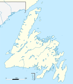 Terrenceville Location of Terrenceville in Newfoundland | |
| Coordinates: 47°39′48″N 54°43′38″W / 47.66333°N 54.72722°W | |
| Country |
|
| Province |
|
| Population (2011) | |
| • Total | 530 |
| Time zone | Newfoundland Time (UTC-3:30) |
| • Summer (DST) | Newfoundland Daylight (UTC-2:30) |
| Area code(s) | 709 |
Terrenceville is a small town located on the Burin Peninsula of Newfoundland, Canada, south west of Swift Current.
History
Located on the island of Newfoundland, approximately 80 kilometers north of Marystown on route 211, is the scenic town of Terrenceville. It was known as Head of Fortune Bay until 1905, but renamed in honor of former governor Sir J. Terence O'Brien.
The town was serviced by the C.N. coastal boats until early 1995, and was a main port for many isolated communities on the south coast, that needed to get to places such as Marystown, Clarenville, and St.John's.
The population was 300 in 1944, 424 in 1951 and 521 in 1956. Like many other towns in rural NL, Terrenceville,has seen its population decline due to many families having to leave for full time employment, as well as an aging population that require medical facilities.
Recent events
In recent years the Eastern School Board has come under fire for the declining conditions of the local K-12 school St. Joseph's All Grade. In Sept 2007 mold was found in the building's gymnasium roof and now has to be replaced. This was initially overlooked but the school board's first inspection. Since then, the school has been kept in great shape and will be a part of the community for many years.
In July 2007 Terrenceville had its very first Come Home Year Celebrations.
Every year, usually the first weekend in August, The Fire Dept. hosts a festival now known as "The Bottom of the Bay Festival" which is met with great reception.
In 2015, Transport Canada sought to sell or divest itself of its local port facility.[1]
See also
References
External links
- Statistics Canada 2001 Census for Terrenceville
- St. Joseph's All Grade Home Page
Coordinates: 47°39′48″N 54°43′38″W / 47.66333°N 54.72722°W