Tall Battal
| Tall Battal تل بطال | |
|---|---|
| Village | |
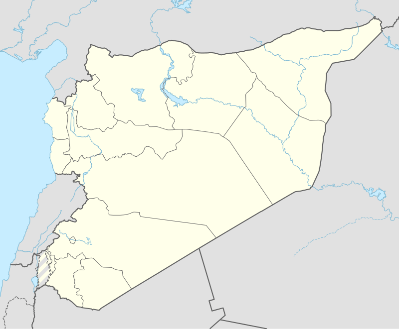 Tall Battal Location of Tall Battal in Syria | |
| Coordinates: 36°30′01″N 37°26′21″E / 36.5003°N 37.4392°ECoordinates: 36°30′01″N 37°26′21″E / 36.5003°N 37.4392°E | |
| Country |
|
| Governorate | Aleppo |
| District | Azaz |
| Subdistrict | Akhtarin |
| Occupation |
|
| Elevation | 539 m (1,768 ft) |
| Population (2004)[1] | 656 |
| Time zone | EET (UTC+2) |
| • Summer (DST) | EEST (UTC+3) |
| Geocode | C1601 |
Tall Battal (Arabic: تل بطال, translit. Tall Baţţāl), also spelled Til Betal or Tal Bital, is a village in northern Aleppo Governorate, northwestern Syria. Situated in the northern Aqil mountains, bordering the Queiq Plain to the west, it is located halfway between al-Rai and al-Bab, about 40 kilometres (25 mi) northeast of the city of Aleppo, and 15 km (9.3 mi) south of the border to the Turkish province of Kilis.
Administratively the village belongs to Nahiya Akhtarin in A'zaz District. Nearby localities include Tall Jurji 5 km (3.1 mi) to the east, and Qar Kalbin 3 km (1.9 mi) to the west on the Queiq Plain. In the 2004 census, Tall Battal had a population of 656.[1]
References
- 1 2 "2004 Census Data for Nahiya Akhtarin" (in Arabic). Syrian Central Bureau of Statistics. Retrieved 15 October 2015. Also available in English: UN OCHA. "2004 Census Data". Humanitarian Data Exchange. Retrieved 4 December 2015.
Capital: Aleppo | ||||||||
|  | |||||||
|
| ||||||||
| ||||||||
| ||||||||
| ||||||||
| ||||||||
This article is issued from Wikipedia - version of the 9/9/2016. The text is available under the Creative Commons Attribution/Share Alike but additional terms may apply for the media files.
