Snowdoun, Alabama
| Snowdoun, Alabama | |
|---|---|
| Unincorporated community | |
 Snowdoun, Alabama  Snowdoun, Alabama | |
| Coordinates: 32°14′30″N 86°17′47″W / 32.24167°N 86.29639°WCoordinates: 32°14′30″N 86°17′47″W / 32.24167°N 86.29639°W | |
| Country | United States |
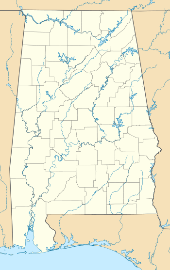
| State | Alabama |
| County | Montgomery |
| Elevation | 282 ft (86 m) |
| Time zone | Central (CST) (UTC-6) |
| • Summer (DST) | CDT (UTC-5) |
| Area code(s) | 334 |
| GNIS feature ID | 127083[1] |
Snowdoun is an unincorporated community in Montgomery County, Alabama, United States. Snowdoun is located on U.S. Highway 331 9.5 miles (15.3 km) south of Montgomery.
History
Snowdoun was named by William Falconer in honor of Mount Snowdon in Wales.[2] A post office operated under the name Snowdoun from 1859 to 1957.[3]
Snowdoun was formerly connected to Montgomery by the Montgomery Southern Railway, a narrow gauge railway.[4]
William Bartram camped near Snowdoun on his expedition through the southern colonies.[5]
References
- ↑ "Snowdoun". Geographic Names Information System. United States Geological Survey.
- ↑ Foscue, Virginia (1989). Place Names in Alabama. Tuscaloosa: The University of Alabama Press. p. 129. ISBN 0-8173-0410-X.
- ↑ "Montgomery County". Jim Forte Postal History. Retrieved 19 January 2015.
- ↑ George Woodman Hilton (1990). American Narrow Gauge Railroads. Stanford University Press. p. 304. ISBN 978-0-8047-1731-1.
- ↑ Bartram Trail Conference (1979). Bartram Heritage. Brad Sanders. p. 134. GGKEY:LPJW3TZ54Y4.
Municipalities and communities of Montgomery County, Alabama, United States | ||
|---|---|---|
| Cities |  | |
| Towns | ||
| Unincorporated communities | ||
| Footnotes | ‡This populated place also has portions in an adjacent county or counties | |
This article is issued from Wikipedia - version of the 10/13/2016. The text is available under the Creative Commons Attribution/Share Alike but additional terms may apply for the media files.