Ada, Alabama
| Ada, Alabama | |
|---|---|
| Unincorporated community | |
 Ada, Alabama  Ada, Alabama | |
| Coordinates: 32°06′20″N 86°16′35″W / 32.10556°N 86.27639°WCoordinates: 32°06′20″N 86°16′35″W / 32.10556°N 86.27639°W | |
| Country | United States |
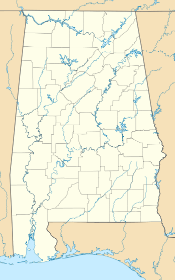
| State | Alabama |
| County | Montgomery |
| Elevation | 322 ft (98 m) |
| Time zone | Central (CST) (UTC-6) |
| • Summer (DST) | CDT (UTC-5) |
| Area code(s) | 334 |
| GNIS feature ID | 112911[1] |
Ada is an unincorporated community in Montgomery County, Alabama, United States. Ada is located at the intersection of U.S. Highway 331 and Alabama State Route 94, 20 miles (32 km) south of Montgomery.
History
A post office operated under the name Ada from 1881 to 1922.[2] Ada was the name of the first postmaster's wife.[3]
References
- ↑ "Ada". Geographic Names Information System. United States Geological Survey.
- ↑ "Montgomery County". Jim Forte Postal History. Retrieved 19 January 2015.
- ↑ Foscue, Virginia (1989). Place Names in Alabama. Tuscaloosa: The University of Alabama Press. p. 6. ISBN 0-8173-0410-X.
Municipalities and communities of Montgomery County, Alabama, United States | ||
|---|---|---|
| Cities |  | |
| Towns | ||
| Unincorporated communities | ||
| Footnotes | ‡This populated place also has portions in an adjacent county or counties | |
This article is issued from Wikipedia - version of the 7/31/2016. The text is available under the Creative Commons Attribution/Share Alike but additional terms may apply for the media files.