Washington State Route 231
| ||||
|---|---|---|---|---|
|
A map of the Spokane area featuring the route of SR 231 highlighted in red. | ||||
| Route information | ||||
| Auxiliary route of SR 23 | ||||
| Defined by RCW 47.17.445 | ||||
| Maintained by WSDOT | ||||
| Length: | 74.97 mi[1] (120.65 km) | |||
| Existed: | 1964[2] – present | |||
| Major junctions | ||||
| South end: |
| |||
|
| ||||
| North end: |
| |||
| Highway system | ||||
| ||||

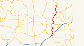
State Route 231 (SR 231) is a 74.97-mile (120.65 km) long state highway in the U.S. state of Washington serving communities in Lincoln and Stevens counties. The highway, located entirely west of Spokane in the Inland Empire, serves Sprague, Edwall, Reardan, Springdale and Chewelah. The route extends from SR 23 north of Sprague to a concurrency with U.S. Route 2 (US 2) near Reardan and an intersection with US 395 south of Chewelah.
Although SR 231 was established in 1964, the US 2 concurrency has existed as State Road 7 since 1909. Later, Secondary State Highway 2G (SSH 2G) and Secondary State Highway 3J (SSH 3J) were established in 1937 and formed SR 231 in 1964. The highway crosses the Spokane River on the Spokane River Bridge at Long Lake Dam, which was constructed in 1949 and added to the National Register of Historic Places in 1995 before repair work in late 2008.
Route description
State Route 231 (SR 231) begins at SR 23 0.79 miles (1.27 km) north of Sprague and a diamond interchange with Interstate 90 (I-90), co-signed as U.S. Route 395 (US 395).[1][3] SR 23 is the "parent" or main route of SR 231 and travels northwest to Harrington and south to Downtown Sprague, spanning 66.00 miles (106.22 km), 8.97 miles (14.44 km) shorter than SR 231.[1] Traveling northeast, the highway traverses a hill and cliff, passing Browns Lake, and turns west. The direction of the roadway becomes north through a narrow valley and SR 231 arrives in Edwall as Oregon Street. The roadway briefly turns east as Main Street before crossing a BNSF Railway line and continuing northeast alongside the tracks.[4] After turning north into the plains, the highway parallels Crab Creek to intersect US 2 west of Reardan.[5]
Becoming concurrent with US 2, the road becomes Broadway Street and enters Reardan. SR 231 turns north at Aspen Street and crosses the Eastern Washington Gateway Railroad and a marsh via a causeway. As Spring Creek Road, the highway travels northwest parallel to Spring Creek into Spring Creek Canyon. After the canyon, the roadway crosses the Spokane River on the Spokane River Bridge at Long Lake Dam, the border between Lincoln and Stevens counties, west of Little Falls Dam and Long Lake. Nearly a mile north of the bridge, SR 231 intersects SR 291, a connector to Spokane. After the intersection, the highway travels north through the community of Ford and continues through a valley into Springdale. Within Springdale, the roadway is named Second Street and intersects SR 292, which connects east to US 395 near Loon Lake. After crossing a BNSF Railway track, Second Street turns west as Shaffer Street and passes the Springdale Community Health Center, the local medical clinic.[6] SR 231 crosses Sheep Creek and the same railway as Second Street and leaves Springdale, parallel to the railroad, into a valley. The highway intersects former SR 232 and ends at an intersection with US 395 4.27 miles (6.87 km) south of Chewelah.[1][5]
History

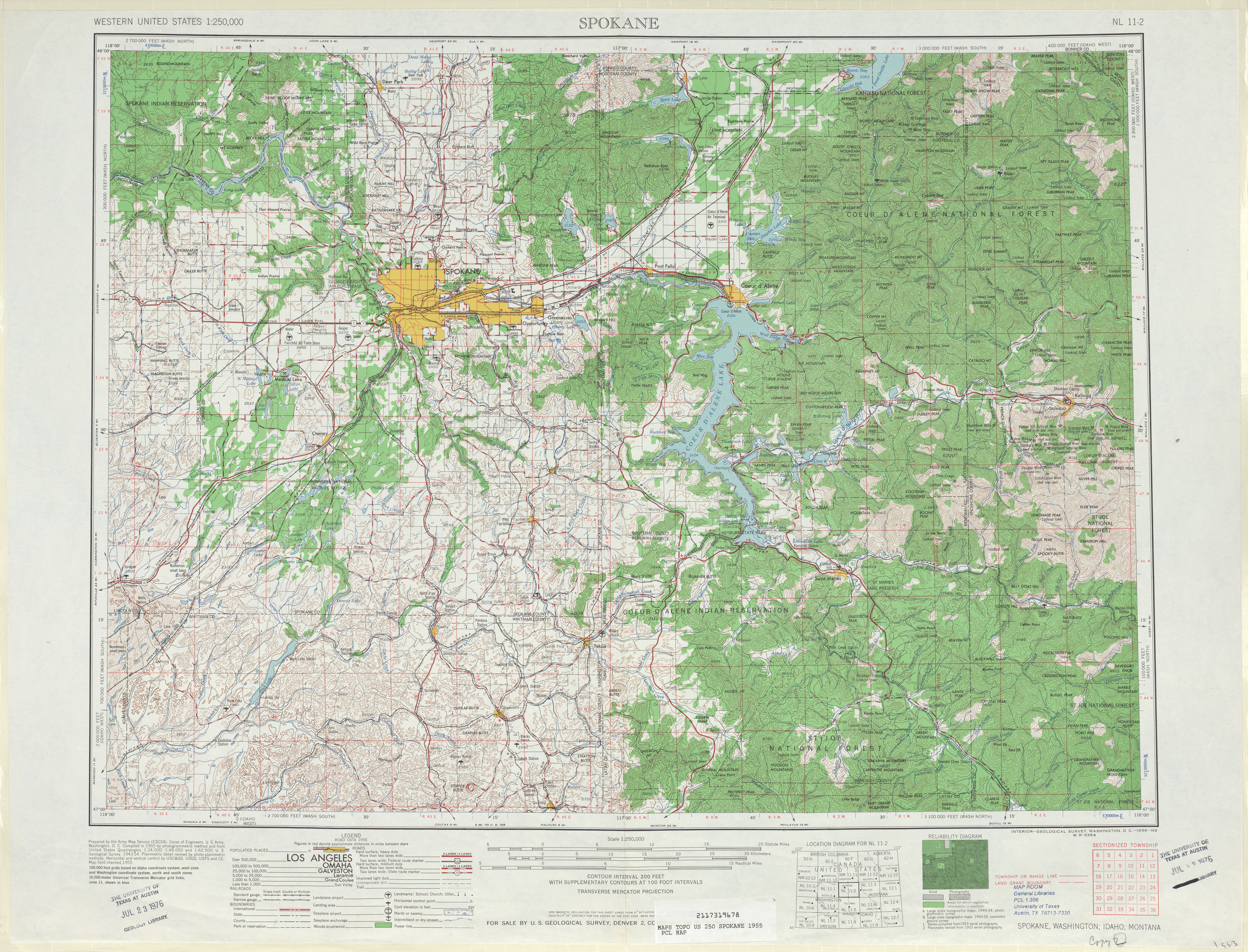
SR 231 was established in 1964,[2] but sections of the current route have been in the state highway system as early as 1909, when State Road 7 was established and included a section near Reardan.[7][8] In 1913, the Inland Empire Highway was established and connected Loon Lake to Springdale and Chewelah.[7][9] A county-maintained road connected Sprague to Browns Lake by 1919 and in 1923, State Road 7 became State Road 2 and the Inland Empire Highway became State Road 3.[7][10][11] The U.S. route system was formed in 1926 and two highways, numbered U.S. Route 10 (US 10) and U.S. Route 395 (US 395), were co-signed with State Roads 2 and 3, respectively.[12][13] State Road 2 became Primary State Highway 2 (PSH 2) in 1937 and a secondary route, Secondary State Highway 2G (SSH 2G) was created, extending from Sprague to Reardan, in 1937.[14][15] State Road 3 became PSH 3 during the same year and a secondary route, SSH 3J, was also established to span from the Little Falls Dam at Long Lake to Springdale.[16][17]
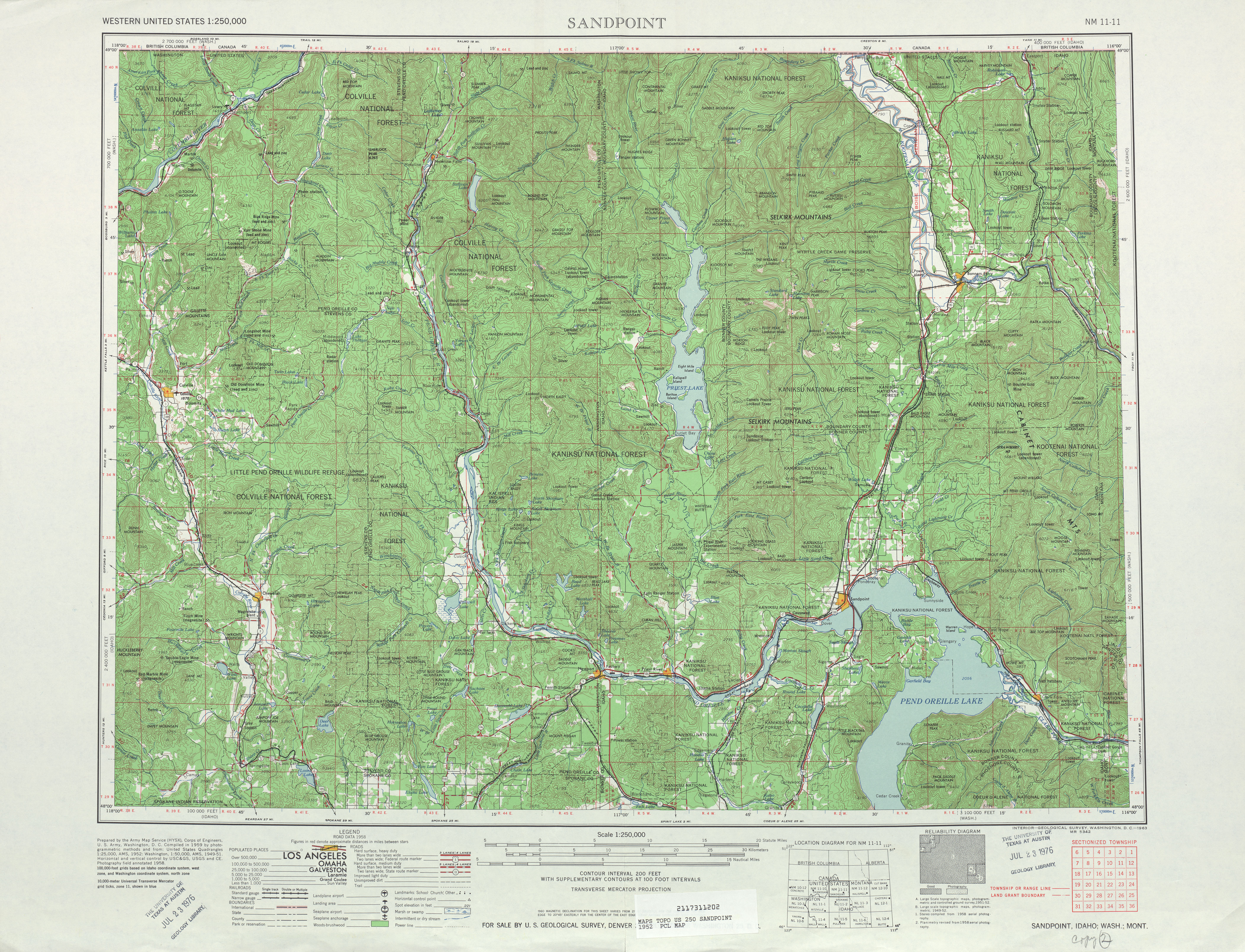
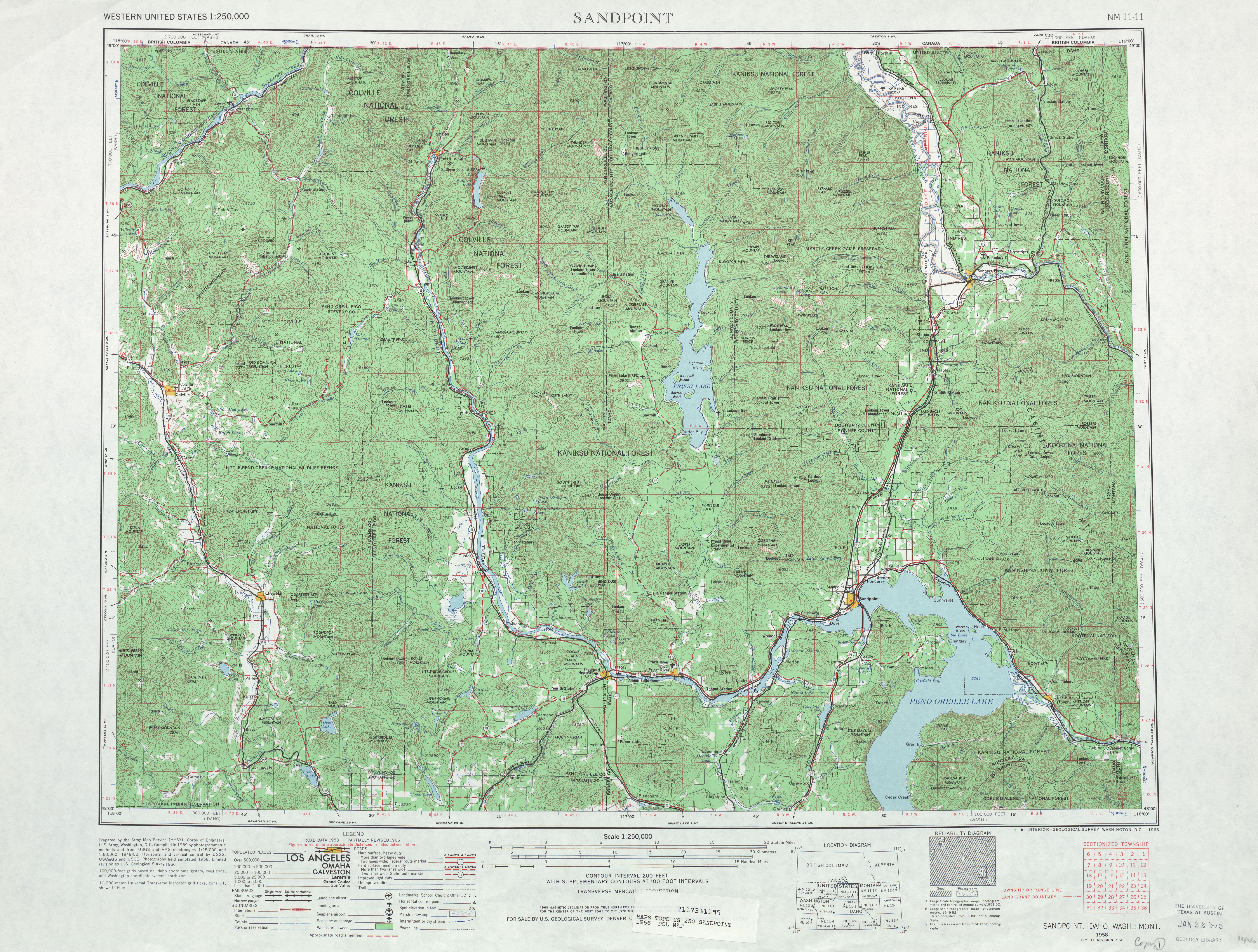
US 10 was replaced by the western extension of US 2 in 1946.[18][19] Three years later, in 1949, the Spokane River Bridge at Long Lake Dam was constructed and spanned from the southern terminus of SSH 3J to Lincoln County.[20][21][22] In 1957, PSH 3 and US 395 were moved to an eastern route bypassing Springdale, while SSH 3J was extended north towards Chewelah and a branch of the highway was added to Loon Lake, both along the former route of PSH 3.[23][24] SSH 3J was extended south to PSH 2 and US 2 in Reardan, east of the northern terminus of SSH 2G, in 1963.[25] During the 1964 highway renumbering, SR 231 was created from SSH 2G and SSH 3J and became concurrent with US 2; US 2 replaced PSH 2 and US 395 replaced PSH 3, while the branch of SSH 3J to Loon Lake became SR 292.[2][26][27] The Spokane River Bridge was added to the National Register of Historic Places on June 2, 1995 along with the rest of the bridges on the Spokane River northwest of Spokane, and the bridge was repaired in late 2008.[21][28][29]
Major intersections
| County | Location | mi[1] | km | Destinations | Notes |
|---|---|---|---|---|---|
| Lincoln | | 0.00 | 0.00 | Southern terminus | |
| | 28.01 | 45.08 | Southern end of US 2 concurrency | ||
| Reardan | 30.89 | 49.71 | Northern end of US 2 concurrency | ||
| Stevens | | 45.23 | 72.79 | ||
| Springdale | 61.95 | 99.70 | |||
| | 70.24 | 113.04 | Former SR 292 | ||
| | 74.97 | 120.65 | Northern terminus | ||
| 1.000 mi = 1.609 km; 1.000 km = 0.621 mi | |||||
References
- 1 2 3 4 5 Washington State Department of Transportation (2008). "State Highway Log, 2008" (PDF). Retrieved November 19, 2009.
- 1 2 3 Washington State Legislature (1970). "RCW 47.17.445: State route No. 445". Retrieved November 19, 2009.
- ↑ Washington State Department of Transportation (February 25, 2009). "SR 90 – Exit 245; Junction SR 23 / SR 231" (PDF). Retrieved November 19, 2009.
- ↑ Washington State Rail System (PDF) (Map). Washington State Department of Transportation. 2008. Retrieved November 19, 2009.
- 1 2 Google (November 19, 2009). "State Route 231" (Map). Google Maps. Google. Retrieved November 19, 2009.
- ↑ N. E. Washington Health Programs (2009). "Welcome to Springdale Community Health Center". Retrieved November 19, 2009.
- 1 2 3 State Roads As Established by Legislature, 1893 to 1935 (PDF) (Map). Washington State Department of Transportation. 1893 – 1935. Archived from the original (PDF) on November 6, 2005. Retrieved November 19, 2009. Check date values in:
|date=(help) - ↑ Washington State Legislature (March 13, 1909). "Chapter 92: Establishing Certain State Roads". Session Laws of the State of Washington, Volume 2. Session Laws of the State of Washington (1909 ed.). Olympia: Washington State Legislature. pp. 190–191. Retrieved November 19, 2009.
Extension over the existing county roads of State Road No. 7 westerly to Renton, and thence to and along the [west shore of Lake Washington to the city of Seattle, and the extension of State Road No. 7 easterly by the way of Swauk and Peshastin creeks and the Wenatchee Valley to the city of Wenatchee; thence to a point on the sixth standard parallel north in Douglas county near the town of Waterville; thence easterly over the existing county road as nearly as practicable through the towns of Coulee City and Wilbur and the city of Spokane to] the Idaho line at the point where it intersects the north bank of the Spokane river.
- ↑ Washington State Legislature (March 12, 1913). "Chapter 65: Classifying Public Highways". Session Laws of the State of Washington. Session Laws of the State of Washington (1913 ed.). Olympia: Washington State Legislature. p. 221. Retrieved November 19, 2009.
A highway connecting with the Sunset Highway at or in the vicinity of the city of Ellensburg; thence by way of North Yakima, Kennewick, Pasco, Walla Walla, Dayton, crossing the Snake River at either Almota or Penawawa, Colfax, Rosalia, Spokane, Deer Park, Loon Lake, Colville, to the international line at boundary, which shall be known as the Inland Empire Highway.
- ↑ Rock Lake, 1919 (Map). 1:125,000. Washington 1:125,000 topographic quadrangles. Cartography by United States Geological Survey. Washington State University. 1919. Retrieved November 19, 2009.
- ↑ Washington State Legislature (March 19, 1923). "Chapter 185: Primary and Secondary Highways". Session Laws of the State of Washington. Session Laws of the State of Washington (1923 ed.). Olympia: Washington State Legislature. p. 628. Retrieved November 19, 2009.
- ↑ Bureau of Public Roads & American Association of State Highway Officials (November 11, 1926). United States System of Highways Adopted for Uniform Marking by the American Association of State Highway Officials (Map). 1:7,000,000. Washington, DC: U.S. Geological Survey. OCLC 32889555. Retrieved November 7, 2013 – via University of North Texas Libraries.
- ↑ Chewelah, 1927 (Map). 1:125,000. Washington 1:125,000 topographic quadrangles. Cartography by United States Geological Survey. Washington State University. 1927. Retrieved November 19, 2009.
- ↑ Washington State Legislature 1937, p. 934, "SEC. 2. A primary state highway to be known as Primary State Highway No. 2, or the Sunset Highway, is hereby established according to description as follows: Beginning at Seattle in King county, thence in an easterly direction by the most feasible route by way of Renton, Snoqualmie Pass, Cle Elum, Blewett Pass, Wenatchee, Waterville, Wilbur, Davenport and Spokane to the Washington-Idaho boundary line."
- ↑ Washington State Legislature 1937, p. 999, "(g) Secondary State Highway No. 2G; beginning at a junction with Primary State Highway No. 2 in the vicinity west of Reardan, thence in a southerly direction by the most feasible route by way of Edwall to a junction with Secondary State Highway No. 11F in the vicinity northwest of Sprague."
- ↑ Washington State Legislature 1937, p. 934, "SEC. 3. A primary state highway to be known as Primary State Highway No. 3, or the Inland Empire Highway, is hereby established according to description as follows: Beginning at a junction with Primary State Highway No. 2 in the vicinity east of Cle Elum, thence southeasterly by the most feasible route by way of Ellensburg, Yakima, Pasco and Wallula to Walla Walla, thence in a northerly direction by the most feasible route by way of Dayton, Dodge, Colfax, Rosalia, Spokane and Colville to the international boundary line in the vicinity of Laurier; also beginning at a junction with Primary State Highway No. 3, as herein described, in the vicinity of Dodge, thence in an easterly direction by the most feasible route by way of Pomeroy and Clarkston to the Washington-Idaho boundary line."
- ↑ Washington State Legislature 1937, p. 1001, "(i) Secondary State Highway No. 3J; beginning at a junction with Primary State Highway No. 3 in the vicinity of Springdale, thence in a southwesterly direction by the most feasible route across the Spokane river to Long lake."
- ↑ Northwest, 1946 (Map). Rand McNally. 1946. p. 16. Retrieved November 19, 2009.
- ↑ Richard F. Weingroff (January 30, 2008). "U.S. 2: Houlton, Maine, to Everett, Washington". United States Department of Transportation, Federal Highway Administration. Retrieved November 19, 2009.
- ↑ Washington State Department of Transportation. "Historic Bridges - Spokane River Bridge at Long Lake Dam (WA-95)". Retrieved November 19, 2009.
- 1 2 Washington State Department of Transportation (2008). "SR 231 - Spokane River Bridge Deck Rehabilitation - Complete August 2008". Retrieved November 19, 2009.
- ↑ Spokane, 1955 (Map). 1:250,000. Cartography by United States Geological Survey. University of Texas at Austin. 1955. Retrieved November 19, 2009.
- ↑ Washington State Legislature (1957). "Chapter 172". Session Laws of the State of Washington. Session Laws of the State of Washington (1957 ed.). Olympia: Washington State Legislature. Retrieved November 19, 2009.
- ↑ Sandpoint, 1958 (Map). 1:250,000. Cartography by United States Geological Survey. University of Texas at Austin. 1958. Retrieved November 19, 2009.
- ↑ Washington State Legislature (1963). "Chapter 240". Session Laws of the State of Washington. Session Laws of the State of Washington (1963 ed.). Olympia: Washington State Legislature.
- ↑ C. G. Prahl; Washington State Highway Commission, Department of Highways (December 1, 1965). "Identification of State Highways" (PDF). Washington State Department of Transportation. Retrieved November 19, 2009.
- ↑ Sandpoint, 1966 (Map). 1:250,000. Cartography by United States Geological Survey. University of Texas at Austin. 1966. Retrieved November 19, 2009.
- ↑ National Park Service (1995). "National Register of Historic Places - Weekly Register List of 1995" (PDF). United States Department of the Interior. p. 33. Retrieved November 19, 2009.
- ↑ SR 231 - Spokane River Bridge Deck Rehabilitation - Complete August 2008 (Map). Washington State Department of Transportation. 2008. Retrieved November 19, 2009.
Further reading
- Washington State Legislature (1937). Session Laws of the State of Washington. Session Laws of the State of Washington (1937 ed.). Olympia: Washington State Legislature. Retrieved November 19, 2009.
External links
| Wikimedia Commons has media related to Washington State Route 231. |
- Highways of Washington State
- WSDOT Project: Spokane River Bridge Deck Rehabilitation (Completed August 2008)