Saulx-les-Chartreux
| Saulx-les-Chartreux | |
|---|---|
|
The town hall in Saulx-les-Chartreux | |
 Saulx-les-Chartreux | |
|
Location within Île-de-France region 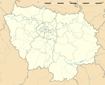 Saulx-les-Chartreux | |
| Coordinates: 48°41′29″N 2°15′51″E / 48.6914°N 2.2642°ECoordinates: 48°41′29″N 2°15′51″E / 48.6914°N 2.2642°E | |
| Country | France |
| Region | Île-de-France |
| Department | Essonne |
| Arrondissement | Palaiseau |
| Canton | Villebon-sur-Yvette |
| Intercommunality | Europ'Essonne |
| Government | |
| • Mayor (2008–2014) | Jean Flegeo |
| Area1 | 7.65 km2 (2.95 sq mi) |
| Population (2006)2 | 4,957 |
| • Density | 650/km2 (1,700/sq mi) |
| Time zone | CET (UTC+1) |
| • Summer (DST) | CEST (UTC+2) |
| INSEE/Postal code | 91587 / 91160 |
| Elevation | 43–158 m (141–518 ft) |
|
1 French Land Register data, which excludes lakes, ponds, glaciers > 1 km² (0.386 sq mi or 247 acres) and river estuaries. 2 Population without double counting: residents of multiple communes (e.g., students and military personnel) only counted once. | |

Saulx-les-Chartreux is a commune in the Essonne department in the southern suburbs of Paris, France. It is located 20 kilometres from the center of Paris.
Inhabitants of Saulx-les-Chartreux are known as Salucéens.
History
The name of the city come from a tree: Saule (willow tree in French). Monks built a monastery in this village during the 11th century, and lived there until the Wars of Religion in 1592, when Condé soldiers came to burn the place.
On 11 July 1973, Varig Flight 820 crashed near the village, just before arriving in Orly airport. 123 people died, and 11 survived.
Famous people
- Adolphe Adam (Musician and composer) lived in Saulx-les-Chartreux
Places and monuments
- Notre Dame de l'Assomption, church built during 11th and 16th centuries
- Forest with specific geologic place
See also
References
- INSEE
- Mayors of Essonne Association (French)
External links
| Wikimedia Commons has media related to Saulx-les-Chartreux. |
- Saulx Les Chartreux website (French)
- Mérimée database - Cultural heritage (French)
- Land use (IAURIF) (English)
This article is issued from Wikipedia - version of the 5/2/2016. The text is available under the Creative Commons Attribution/Share Alike but additional terms may apply for the media files.