Saint-Julien, Quebec
| Saint-Julien | |
|---|---|
| Municipality | |
 Location within Les Appalaches RCM. | |
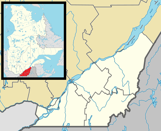 Saint-Julien Location in southern Quebec. | |
| Coordinates: 46°00′N 71°32′W / 46.000°N 71.533°WCoordinates: 46°00′N 71°32′W / 46.000°N 71.533°W[1] | |
| Country |
|
| Province |
|
| Region | Chaudière-Appalaches |
| RCM | Les Appalaches |
| Constituted | July 1, 1855 |
| Government[2] | |
| • Mayor | Serge Laliberté |
| • Federal riding | Mégantic—L'Érable |
| • Prov. riding | Lotbinière-Frontenac |
| Area[2][3] | |
| • Total | 82.80 km2 (31.97 sq mi) |
| • Land | 81.21 km2 (31.36 sq mi) |
| Population (2011)[3] | |
| • Total | 406 |
| • Density | 5.0/km2 (13/sq mi) |
| • Pop 2006-2011 |
|
| • Dwellings | 188 |
| Time zone | EST (UTC−5) |
| • Summer (DST) | EDT (UTC−4) |
| Postal code(s) | G0N 1B0 |
| Area code(s) | 418 and 581 |
| Highways |
|
| Website |
www |
Saint-Julien is a municipality located in the Municipalité régionale de comté des Appalaches in Quebec, Canada. It is part of the Chaudière-Appalaches region and the population is 407 as of 2009. It is named after Julien-Melchior Bernier, the first reverend of the parish between 1856 and 1863.
References
- Commission de toponymie du Québec
- Ministère des Affaires municipales, des Régions et de l'Occupation du territoire
 |
Saint-Ferdinand | Irlande | | |
| Sainte-Hélène-de-Chester | |
Saint-Joseph-de-Coleraine | ||
| ||||
| | ||||
| Saint-Fortunat | Saint-Jacques-le-Majeur-de-Wolfestown | Disraeli (parish) |
| Cities & Towns | |
|---|---|
| Municipalities | |
| Parishes | |
| |
This article is issued from Wikipedia - version of the 12/11/2013. The text is available under the Creative Commons Attribution/Share Alike but additional terms may apply for the media files.