Oostkamp
| Oostkamp | |||
|---|---|---|---|
| Municipality | |||
|
Oostkamp Rivierbeek | |||
| |||
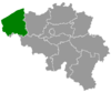
 Oostkamp Location in Belgium | |||
|
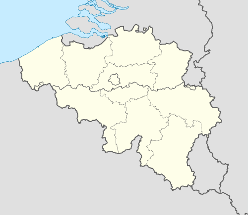
Location of Oostkamp in West Flanders  | |||
| Coordinates: 51°09′N 03°14′E / 51.150°N 3.233°ECoordinates: 51°09′N 03°14′E / 51.150°N 3.233°E | |||
| Country | Belgium | ||
| Community | Flemish Community | ||
| Region | Flemish Region | ||
| Province | West Flanders | ||
| Arrondissement | Bruges | ||
| Government | |||
| • Mayor | Luc Vanparys (CD&V) | ||
| • Governing party/ies | CD&V | ||
| Area | |||
| • Total | 79.65 km2 (30.75 sq mi) | ||
| Population (1 January 2016)[1] | |||
| • Total | 23,132 | ||
| • Density | 290/km2 (750/sq mi) | ||
| Postal codes | 8020 | ||
| Area codes | 050 | ||
| Website | www.oostkamp.be | ||


Oostkamp (Dutch pronunciation: [ˈoːstkɑmp]) is a municipality located in the Belgian province of West Flanders. The municipality comprises the villages of Hertsberge, Oostkamp proper, Ruddervoorde and Waardamme. On January 1, 2014, Oostkamp had a total population of 23.016. The total area is 79.65 km² which gives a population density of 289 inhabitants per km².
History
The name Oostkamp comes from the Medieval name "Orscamp", meaning place of the horses. The old word ors is identical with the English word horse.
Oostkamp during World War II
The Canadian 4th Armoured Division liberated the village on 8 September 1944 (World War II) during the Battle of Moerbrugge. A monument was erected by the Ghent-Bruges Canal to honour the 53 Canadian casualties.
Fusion of 1977
With the Belgian Unity Law the four villages of Oostkamp proper, Hertsberge, Ruddervoorde and Waardamme became the Municipality of Greater Oostkamp
Sister cities
-
 - Chaumont, France
 -
 - Bad Langensalza, Germany
 - - Bad Nauheim, Germany
References
- ↑ Population per municipality as of 1 January 2016 (XLS; 397 KB)
External links
| Wikimedia Commons has media related to Oostkamp. |
- (Dutch) Official Website
- (Dutch) Website of Heemkring Oostkamp: Studygroup of the local customs and folklore of Oostkamp
- (Dutch) Oostkamp.org: A wiki by citizens - The creators of this wiki try to preserve the friendly character of the municipality.
 |
Bruges | | ||
| Zedelgem | |
Beernem | ||
| ||||
| | ||||
| Torhout Lichtervelde |
Wingene |