Roosville, British Columbia
| Roosville | |
|---|---|
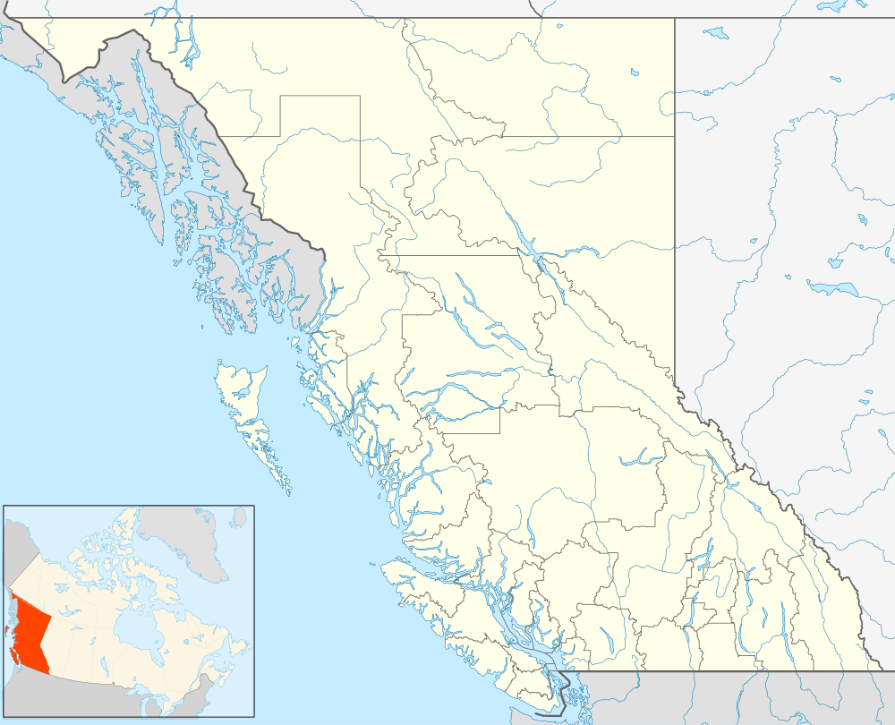 Roosville Location of Roosville in British Columbia | |
| Coordinates: 49°00′04″N 115°03′10″W / 49.00111°N 115.05278°WCoordinates: 49°00′04″N 115°03′10″W / 49.00111°N 115.05278°W | |
| Country |
|
| Province |
|
| Area code(s) | 250 / 778 / 236 |
| Highways |
|
Roosville, British Columbia, Canada is a tiny farming community bordering the U.S. state of Montana near Lake Koocanusa, at the southeast corner of Tobacco Plains Indian Reserve No. 2.[1] The Roosville border crossing is a primary entry into Southeast British Columbia from Northwest Montana. The name of this community derives from the family Roo, early settlers in the area. The name was conferred in honour of a Roo family member who was postmaster.
The community in Montana, across the Canada–United States border, is also named Roosville, as is the US port of entry.[2][3]
Aboriginal name
The traditional name in the Ktunaxa language for this site is ¿/u¿/uqa, pronounced tsoo-tsoo-qa.[4]
External links
References
- ↑ "Roosville (locality)". BC Geographical Names.
- ↑ U.S. Geological Survey Geographic Names Information System: Roosville (populated place)
- ↑ U.S. Geological Survey Geographic Names Information System: United States Customs and Border Protection Roosville Port of Entry
- ↑ "Roosville (locality)". BC Geographical Names.
This article is issued from Wikipedia - version of the 2/7/2016. The text is available under the Creative Commons Attribution/Share Alike but additional terms may apply for the media files.