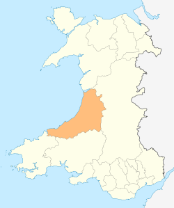
River Ystwyth
The Ystwyth (/ˈɪstwɪθ/; Welsh: Afon Ystwyth) is a river in the county of Ceredigion, Wales. The length of the main river is 20.5 miles (33 km). Its catchment area covers 75 square miles (193 km2).[1] Its source is a number of streams that include the Afon Diliw, located on the west slopes of Plynlimon on the border of Ceredigion and Powys in the Cambrian Mountains.[2]

The river flows generally westwards before draining into Cardigan Bay at Aberystwyth where it shares the harbour with the River Rheidol.[3]
The Ystwyth valley is now sparsely populated with only a few towns and villages such as Ysbyty Ystwyth, Cwm Ystwyth, Pont-rhyd-y-groes, Llanilar and Llanfarian.[3] In previous centuries, however, the Ystwyth valley was relatively densely populated due to its mineral wealth. Silver, lead and zinc have been mined in the valley since Roman times, an activity that reached its peak in the 18th century. The largest of the very many mines was Cwm Ystwyth Mine. It is reputed that the average age at death of the miners in Cwm Ystwyth was 32, largely because of acute lead poisoning. There is no active metal mining in the Ystwyth valley today.[4]
The River still carries elevated levels of lead, zinc and silver in its water, mostly due to seepage from abandoned mine tailings and discharges from mine adits. At the Frongoch Mine near Pont-rhyd-y-groes, Natural Resources Wales has introduced a new technique for reducing the pollution. Water is drawn away from the mine in a leat to a wetland area, where the vegetation takes up a lot of the pollutants. A similar approach is being used at Cwm Rheidol mine, near Aberystwyth. These remedies are considered important because the area supports a rich variety of wildlife, as well as bringing anglers and tourists to the area.[5]
Footnotes
- ↑ "First Water Resources Survey : Report", South West Wales River Authority, Published 1970, Page 41; Table 1
- ↑ Brooker M.P.; Morris D.L. "A survey of the macroinvertebrates of the Rivers Ystwyth and Rheidol" (PDF). Retrieved 2 May 2016.
- 1 2 Concise Road Atlas: Britain. AA Publishing. 2015. p. 37. ISBN 978-0-7495-7743-8.
- ↑ Jones, J.R. Erichsen (1958). "A Further Study of the Zinc-Polluted River Ystwyth". Journal of Animal Ecology. 27 (1): 1–14. doi:10.2307/2169.
- ↑ "River Ystwyth pollution from Pontrhydygroes mine cut". BBC News. 10 July 2013. Retrieved 2 May 2016.
References
- Green, John (2006), Afon Ystwyth: The Story of a River, Artery Publications 2006. ISBN 0-9513909-7-X
External links
![]() Media related to Afon Ystwyth at Wikimedia Commons
Media related to Afon Ystwyth at Wikimedia Commons
Coordinates: 52°19′50″N 3°53′47″W / 52.33056°N 3.89639°W