Reno, Illinois
| Reno, Illinois | |
|---|---|
| Unincorporated community | |
 Reno, Illinois  Reno, Illinois | |
| Coordinates: 38°58′30″N 89°30′50″W / 38.97500°N 89.51389°WCoordinates: 38°58′30″N 89°30′50″W / 38.97500°N 89.51389°W | |
| Country | United States |
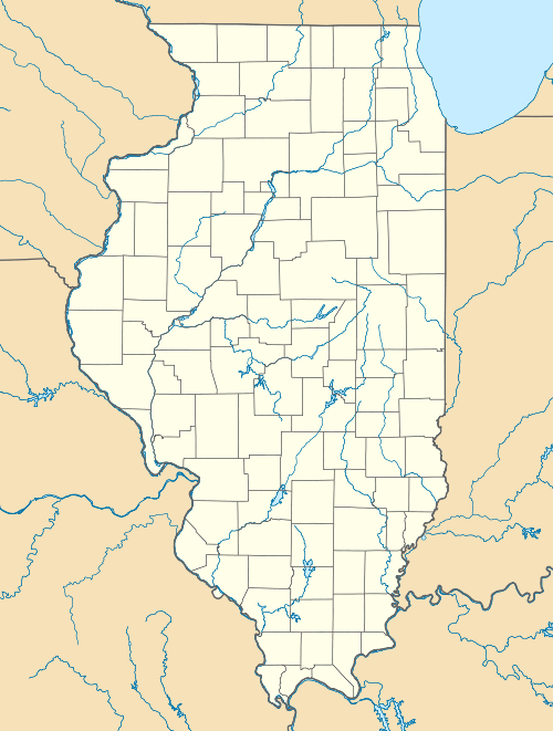
| State | Illinois |
| County | Bond |
| Elevation | 577 ft (176 m) |
| Time zone | Central (CST) (UTC-6) |
| • Summer (DST) | CDT (UTC-5) |
| Area code(s) | 217 |
| GNIS feature ID | 423109[1] |
Reno is an unincorporated community in Bond County, Illinois, United States. Reno is located along a railroad line southeast of Sorento.
References
- ↑ "US Board on Geographic Names". United States Geological Survey. 2007-10-25. Retrieved 2008-01-31.
Municipalities and communities of Bond County, Illinois, United States | ||
|---|---|---|
| City | ||
| Villages | ||
| Townships | ||
| Unincorporated communities | ||
| Ghost town | ||
| Footnotes | ‡This populated place also has portions in an adjacent county or counties | |
information
The elevation is 577 feet. Reno appears on the Sorento South U.S. Geological Survey Map. Bond County is in the Central Time Zone (UTC -6 hours).http://illinois.hometownlocator.com/il/bond/reno.cfm
Nearby Locations
Ayers, IL (3.4 miles ESE) Sorento, IL (3.6 miles WNW) Panama, IL (3.9 miles N) Donnellson, IL (4.3 miles NNE) Gilmore, IL (5.6 miles W) Old Ripley, IL (6.3 miles SSW) Greenville, IL (7.9 miles SE) New Douglas, IL (8.2 miles W)http://illinois.hometownlocator.com/il/bond/reno.cfm
History
Red and White Store "meat~groceries~vegetables" CEO. J. Whitworth http://www.daleeccles.net/Sorento%20Annuals/Sorento_High_School_1942.htm