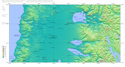
Ranco Lake
| Ranco Lake Lago Ranco | |
|---|---|
 View from Mirador Piedra Mesa | |
| Coordinates | 40°14′51″S 72°23′07″W / 40.24750°S 72.38528°WCoordinates: 40°14′51″S 72°23′07″W / 40.24750°S 72.38528°W |
| Primary inflows | Calcurrupe, Caunahue, Nilahue |
| Primary outflows | Bueno River |
| Basin countries | Chile |
| Surface area | 410 km²[1] |
| Max. depth | 199 m |
| Surface elevation | 70 m[1] |
| Islands | Huapi Island |
| Settlements | Futrono, Lago Ranco, Llifén, Puerto Nuevo |
| References | [1] |
Ranco Lake (Spanish: Lago Ranco) is located in Ranco Province of Chile. It is the largest lake of Los Ríos Region and the fourth largest in Chile. Administratively Ranco Lake is split into three communes; La Unión, Futrono and Lago Ranco. The lake hosts a series of islands, of which Huapi Island is the largest. The western half of the lake is roughly circular while the eastern part features deep embayments. Geographically the lake lies in the Andean precordillera, the zone between the Chilean Central Valley and the Andes.
During the Miocene the lake depression was connected to the Pacific Ocean as an embayment of it. During this period a series of marine fossil bearing sediments known as Estratos de Lago Ranco were deposited in the lake area. During the quaternary glaciations the lake depression was covered by a large glacier lobe of the Patagonian Ice Sheet which left semicircular moraines around the lake's western shore.
References
External links
![]() Media related to Lago Ranco at Wikimedia Commons
Media related to Lago Ranco at Wikimedia Commons