Pura Purani T'uxu
| Pura Purani T'uxu | |
|---|---|
 Pura Purani T'uxu Location within Bolivia | |
| Highest point | |
| Elevation | 5,416 m (17,769 ft) [1] |
| Coordinates | 16°8′03″S 68°17′33″W / 16.13417°S 68.29250°WCoordinates: 16°8′03″S 68°17′33″W / 16.13417°S 68.29250°W |
| Geography | |
| Location |
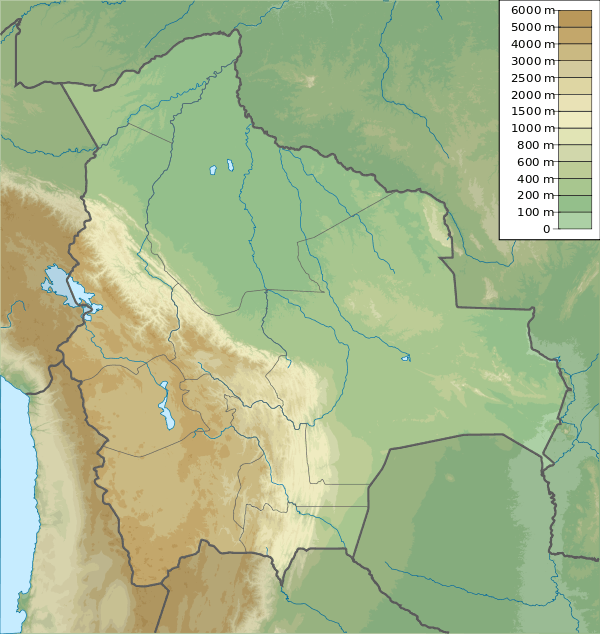
Bolivia, La Paz Department, Los Andes Province, Pucarani |
| Parent range | Andes, Cordillera Real |
| Climbing | |
| First ascent | 1984[2] |
Pura Purani T'uxu or Pura Purani Tuqu (Aymara pura pura Xenophyllum (or a species of it),[3] -ni a suffix to indicate ownership, "the one with the pura pura plant", t'uxu window or tuqu goitre,[4] also spelled Purapurani Thojo) is a 5,416-metre (17,769 ft) high mountain in the Cordillera Real in the Andes of Bolivia. It is located in the La Paz Department, Los Andes Province, Pucarani Municipality. It lies northeast of Nasa Q'ara and north of a lake named Allqa Quta. The small lake northwest of the mountain is Khunu Quta ("snow lake").[1][5]
References
- 1 2 Bolivian IGM map 1:50,000 Lago Khara Kkota Hoja 5945-IV
- ↑ Taken from Mountaineering in the Andes by Jill Neate, Bolivia, RGS-IBG Expedition Advisory Centre, 2nd edition, May 1994
- ↑ Jorge Araya-Presa, Francisco A. Squeo, Lina Barrientos, Eliana Belmonte, Manuel Mamani, Gina Arancio, Manual de Plantas y Canciones en Aymara, PROYECTO EXPLORA-CONICYT ED7/02/085: Etnobotánica y Etnomusicología Aymara: Divulgación de la sabiduría ancestral sobre plantas nativas del Altiplano de Arica, Chile, 2003
- ↑ Radio San Gabriel, "Instituto Radiofonico de Promoción Aymara" (IRPA) 1993, Republicado por Instituto de las Lenguas y Literaturas Andinas-Amazónicas (ILLLA-A) 2011, Transcripción del Vocabulario de la Lengua Aymara, P. Ludovico Bertonio 1612 (Spanish-Aymara-Aymara-Spanish dictionary)
- ↑ "Pucarani". INE, Bolivia. Retrieved May 19, 2015.
This article is issued from Wikipedia - version of the 12/6/2015. The text is available under the Creative Commons Attribution/Share Alike but additional terms may apply for the media files.