Ponir
| Ponir | |
|---|---|
| Village | |
 Ponir | |
| Coordinates: 44°43′N 17°13′E / 44.717°N 17.217°E | |
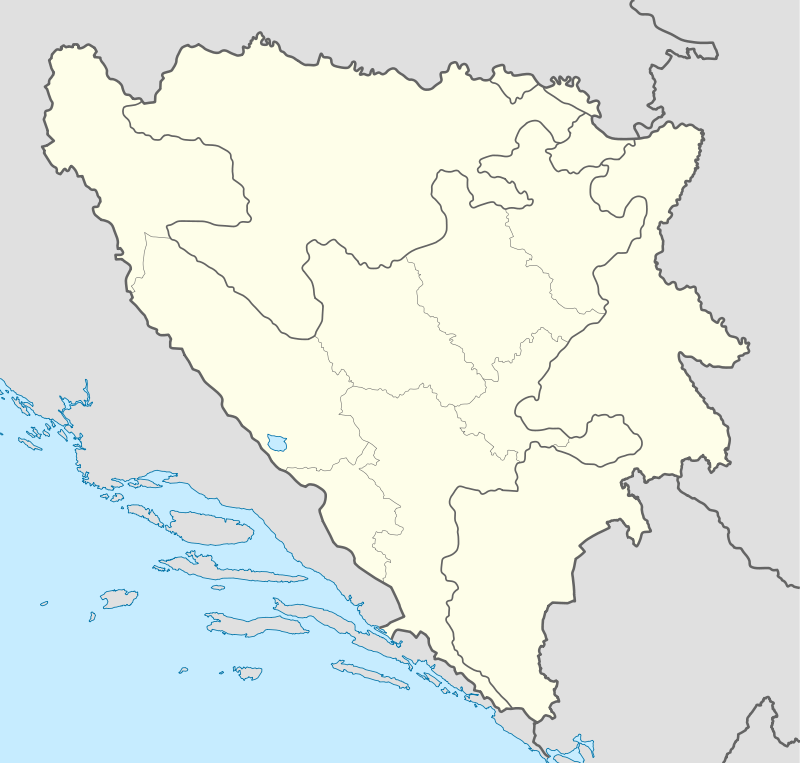
| Country | Bosnia and Herzegovina |
| Entity | Republika Srpska |
| Municipality | Banja Luka |
| Time zone | CET (UTC+1) |
| • Summer (DST) | CEST (UTC+2) |
Ponir (Serbian Cyrillic: Понир) is a village in the municipality of Banja Luka, Republika Srpska, Bosnia and Herzegovina. It is located on the mountain Ponir, near the city of Banja Luka. [1]
References
- ↑ Official results from the book: Ethnic composition of Bosnia-Herzegovina population, by municipalities and settlements, 1991. census, Zavod za statistiku Bosne i Hercegovine - Bilten no.234, Sarajevo 1991.
Coordinates: 44°43′N 17°27′E / 44.717°N 17.450°E
This article is issued from Wikipedia - version of the 2/23/2016. The text is available under the Creative Commons Attribution/Share Alike but additional terms may apply for the media files.