Pantepec, Chiapas
| Pantepec | |
|---|---|
| Municipality | |
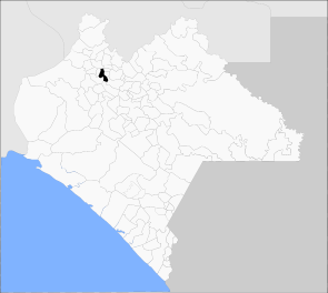 Municipality of Pantepec in Chiapas | |
|
Pantepec Location in Mexico | |
| Coordinates: 17°11′N 93°03′W / 17.183°N 93.050°WCoordinates: 17°11′N 93°03′W / 17.183°N 93.050°W | |
| Country |
|
| State | Chiapas |
| Founded | 1915 |
| Area | |
| • Total | 47.2 km2 (18.2 sq mi) |
| Elevation | 1,470 m (4,820 ft) |
| Population (2010) | |
| • Total | 10,870 |
| • Density | 230/km2 (600/sq mi) |
| Postal code | 29660, 29661 |
| Area code(s) | (+52) 200 |
Pantepec is a town and one of the 119 municipalities of Chiapas, in southern Mexico. The Chiapas Zoque language is spoken in this municipality.
As of 2010, the municipality had a total population of 10,870,[1] up from 8,566 as of 2005.[2] It covers an area of 47.2 km².
As of 2010, the town of Pantepec had a population of 1,820.[1] Other than the town of Pantepec, the municipality had 54 localities, the largest of which (with 2010 populations in parentheses) was: San Isidro las Banderas (1,309), classified as rural.[1]
References
- 1 2 3 "Pantepec". Catálogo de Localidades. Secretaría de Desarrollo Social (SEDESOL). Retrieved 23 April 2014.
- ↑ "Pantepec". Enciclopedia de los Municipios de México. Instituto Nacional para el Federalismo y el Desarrollo Municipal Gobierno del Estado de Chiapas. Retrieved August 2, 2008.

This article is issued from Wikipedia - version of the 5/6/2014. The text is available under the Creative Commons Attribution/Share Alike but additional terms may apply for the media files.