Neil's Harbour, Nova Scotia
| Neil's Harbour | |
|---|---|
| Unincorporated community | |
|
The Neil's Harbour Lighthouse | |
 Neil's Harbour Location of Neil's Harbour, Nova Scotia | |
| Coordinates: 46°15′03″N 60°33′04″W / 46.25083°N 60.55111°WCoordinates: 46°15′03″N 60°33′04″W / 46.25083°N 60.55111°W | |
| Country |
|
| Province |
|
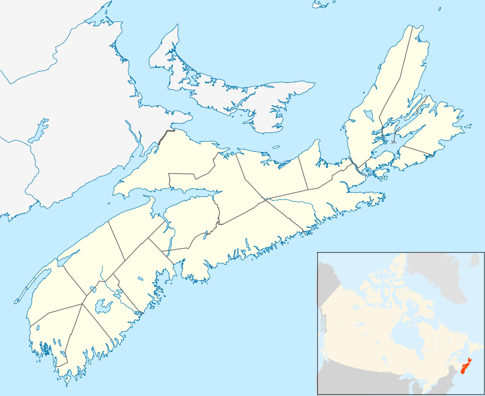
| Municipality | Victoria County |
| Time zone | AST (UTC−4) |
| • Summer (DST) | ADT (UTC−3) |
| Canadian Postal Code | B0C 1N0 |
| Area code(s) | 902 |
| Telephone Exchange | 336 |
| NTS Map | 011K16 |
| GNBC Code | CBBFE |
.jpg)
Neil's Harbour is a small fishing village in northern Cape Breton Island, in Victoria County, Nova Scotia, Canada. It is located between Ingonish and Dingwall, just south of the Cape Breton Highlands National Park.
History
Artifacts in the area indicate that Neil’s Harbour may have been originally settled by the French. Neil's Harbour is named after a man by the name of Neil McLennan. The first school in Neil’s Harbour was constructed in 1878.[1]
Points of interest
- Neil's Harbour Beach
- Buchanan Memorial Hospital
- The Chowder House
- The Neil's Harbour Lighthouse
Demographics

The population is approximately 300 permanent residents.[2]
The town has one operating church which is Anglican, and one non-operational church which was Presbyterian.
There are a few cottages/summer homes in Neil's Harbour, but mostly there are local residents who work in the lobster/crab and fishing industry.
Education
- Cabot Junior/Senior High School lies on the west side of the village on the Cabot Trail.
References
| Counties | |
|---|---|
| Economic Regions | |
| Regional municipalities | |
| Municipal districts | |
| Towns | |
| Incorporated villages | |
| Lists | |
| |